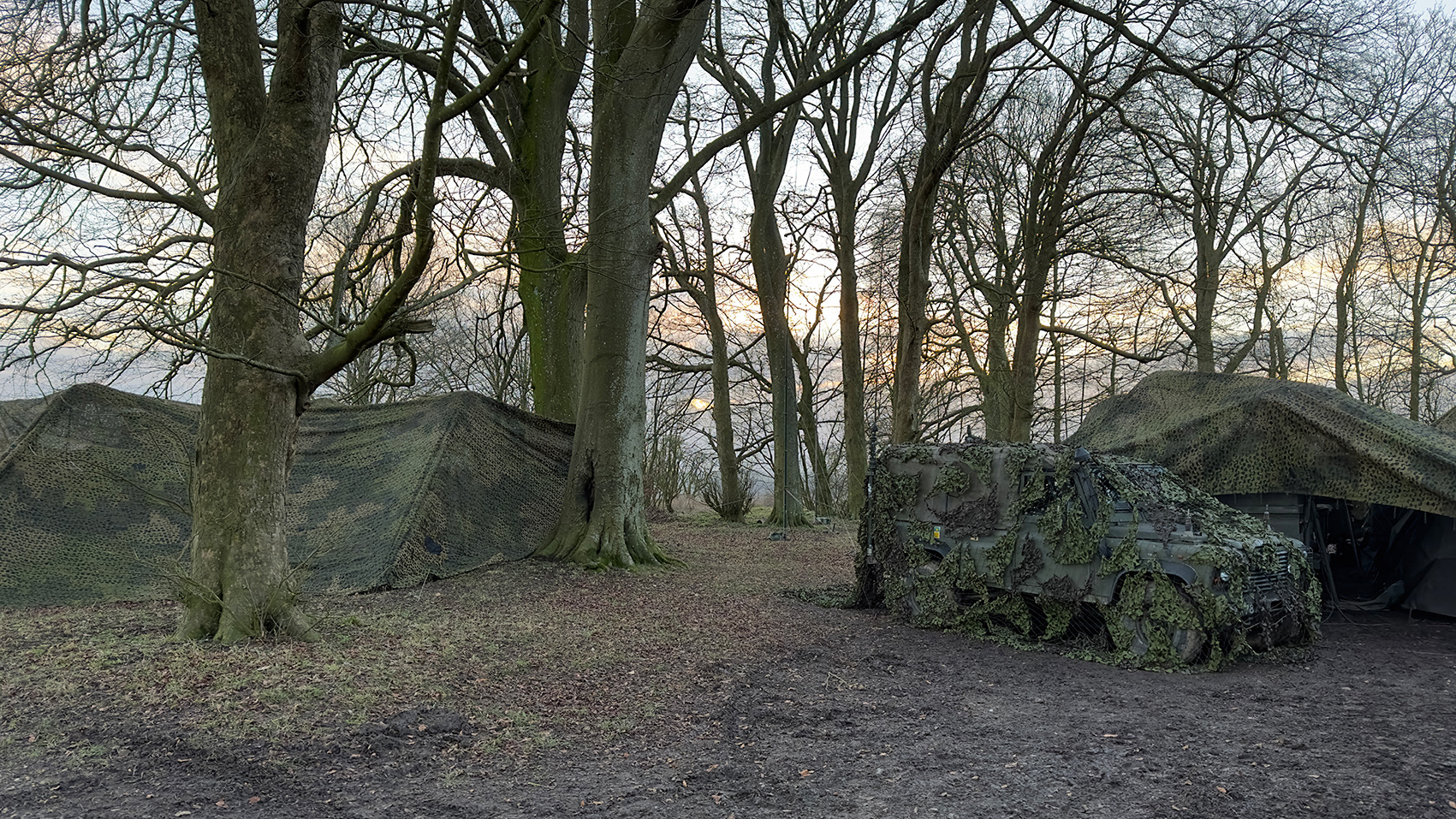
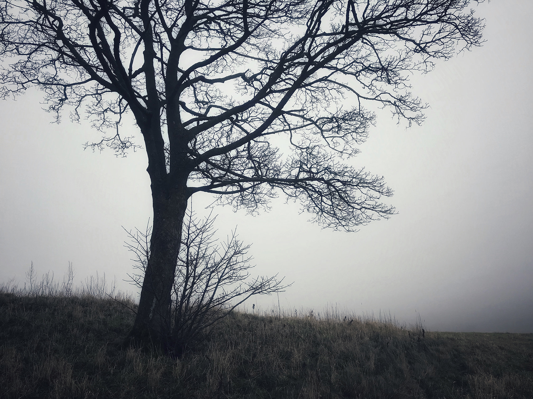
Complex Terrain Environment, Imber Ranges, Wiltshire, 2025.
"Complex terrain" environments are occasionally built on Salisbury Plain to simulate conditions encountered in current theatres of operation. In 2009, one such environment was developed to replicate the irrigation channels typical of the rural landscape of Afghanistan. Covering an area of 1,000 square metres, it featured a network of interconnected irrigation channels, along with woodland and crop cover.
As with most developments of this kind – and recognising the archaeological significance of Salisbury Plain – archaeologists were first commissioned to assess the site. Through exploratory trenches and other investigative methods, they concluded that the area had low archaeological potential.
Following the British withdrawal from Afghanistan, the site fell into disuse, and nature quickly reclaimed the landscape.
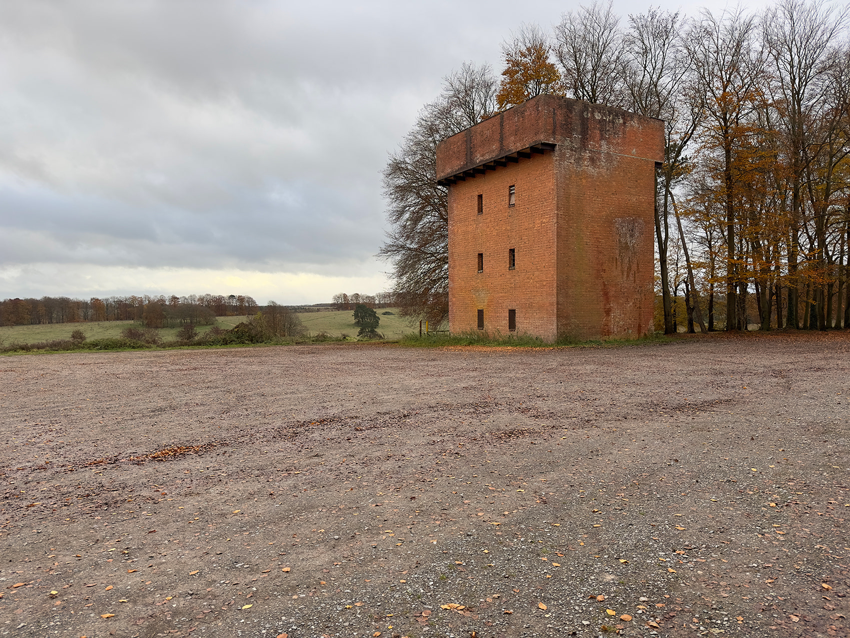
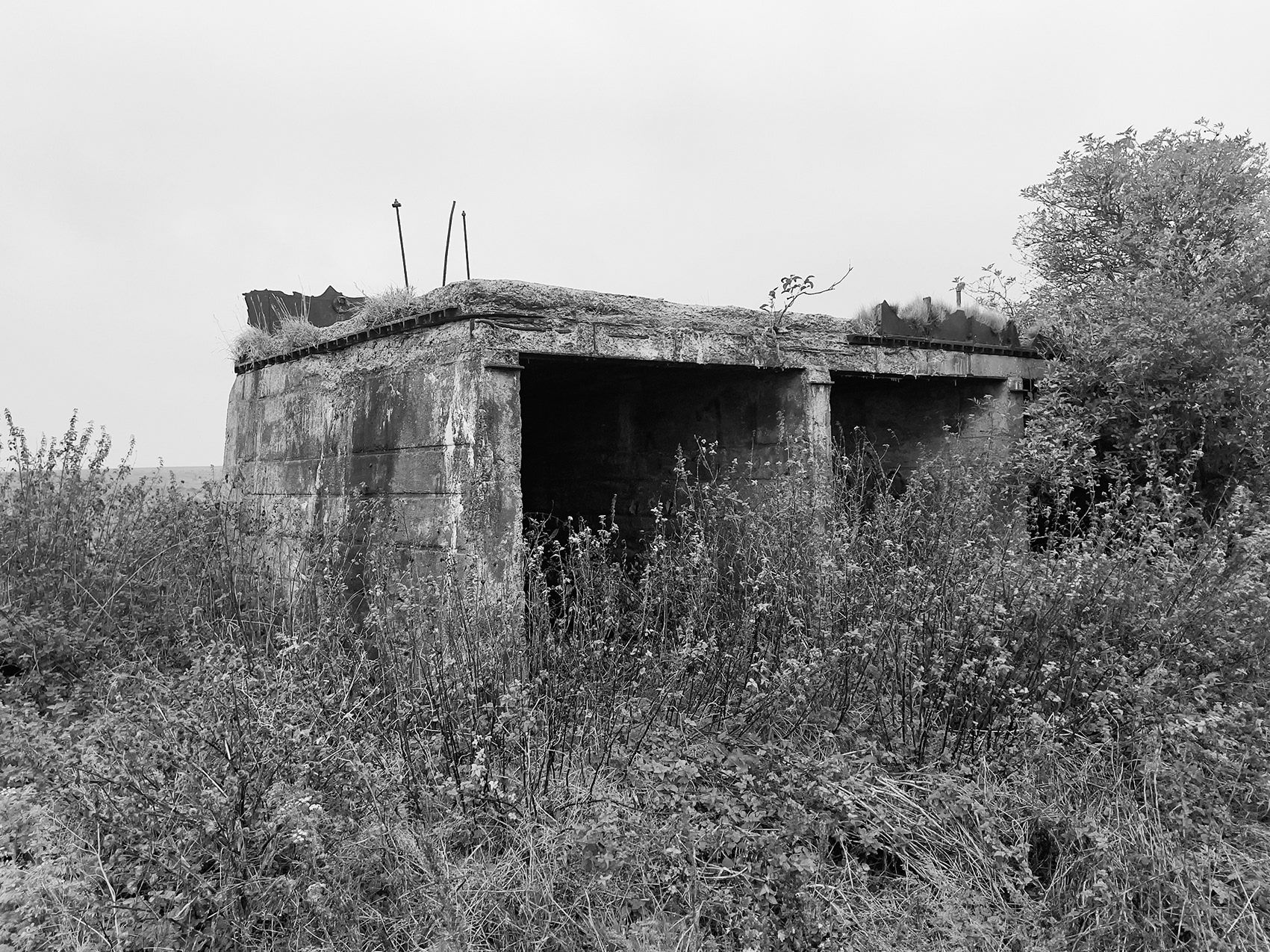
Hard Standing, RAF Tilshead (1925-1941), Tilshead, Imber Ranges, Wiltshire, 2025.
On 29 September 1940, 12 Mk III Westland Lysander aircraft were delivered to re-equip No 225 (Army Co-operation) Squadron at RAF Tilshead, Wiltshire, replacing its existing Lysander II aircraft. At the time, the squadron’s primary role was flying reconnaissance patrols along a section of the south coast where German landings were anticipated.
One of these 12 aircraft, serial number R9125/8377M, spent seven months with No 225 Squadron, flying 36 reconnaissance sorties with several different crews.
After service with several other squadrons, the aircraft was returned to Westland in Yeovil, Somerset, on 11 February 1944 for repair and modification to Special Duties specification. It was then delivered to No 161 (Special Duties) Squadron at RAF Tempsford, Bedfordshire, on 15 October 1944. The primary role of A Flight, No 161 Squadron, which operated the Lysanders, was to collect Allied agents from Nazi-occupied Europe.
Both Army Co-operation and Special Duties squadrons suffered exceptionally high losses. Today, R9125/8377M is the only surviving Special Duties Lysander and forms part of the RAF Museum collection.
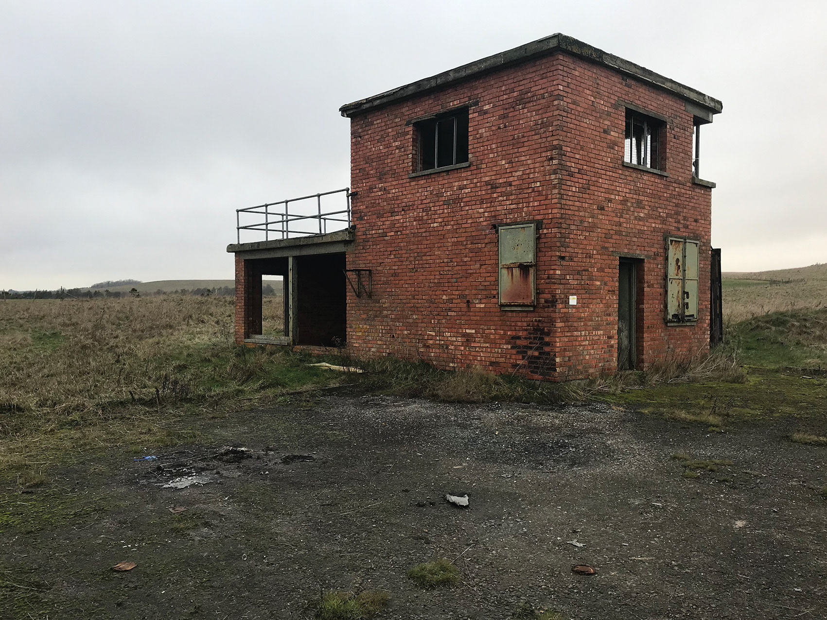
The only physical remains of RAF Tilshead today are three significant areas of hardstanding adjacent to the Tilshead to Chitterne road, where the aircraft of 225 Squadron would have been serviced and prepared for operations.
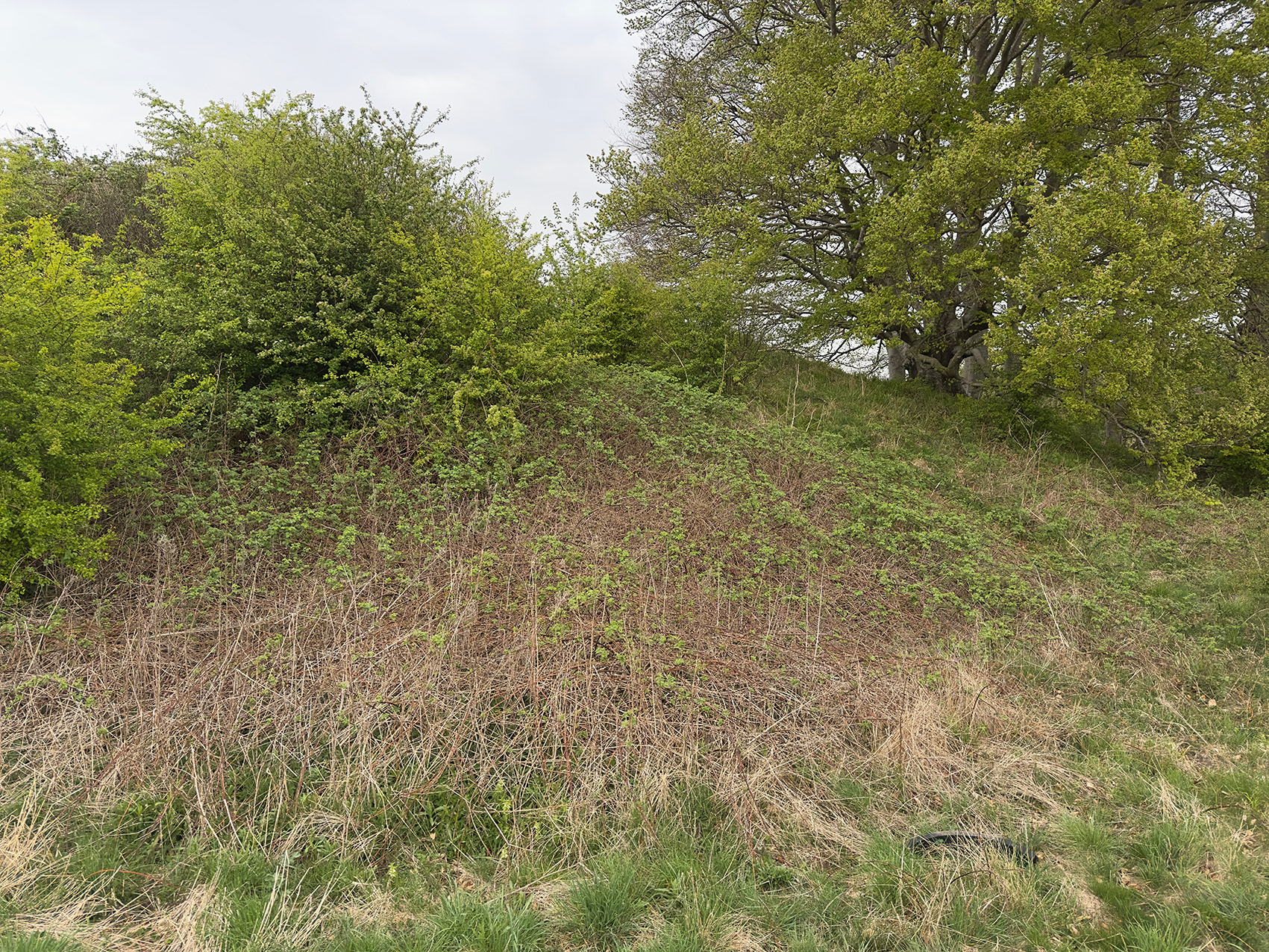
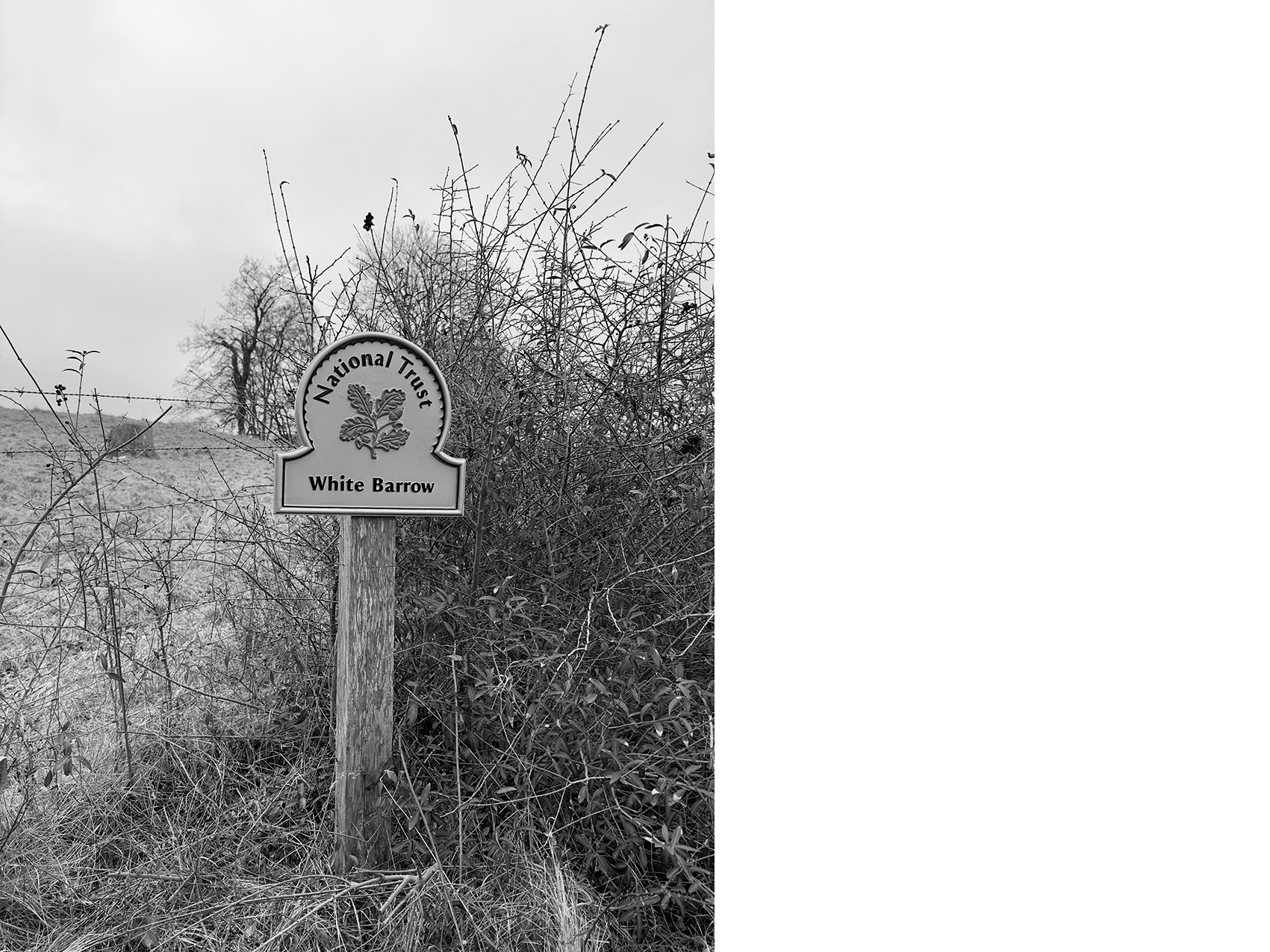
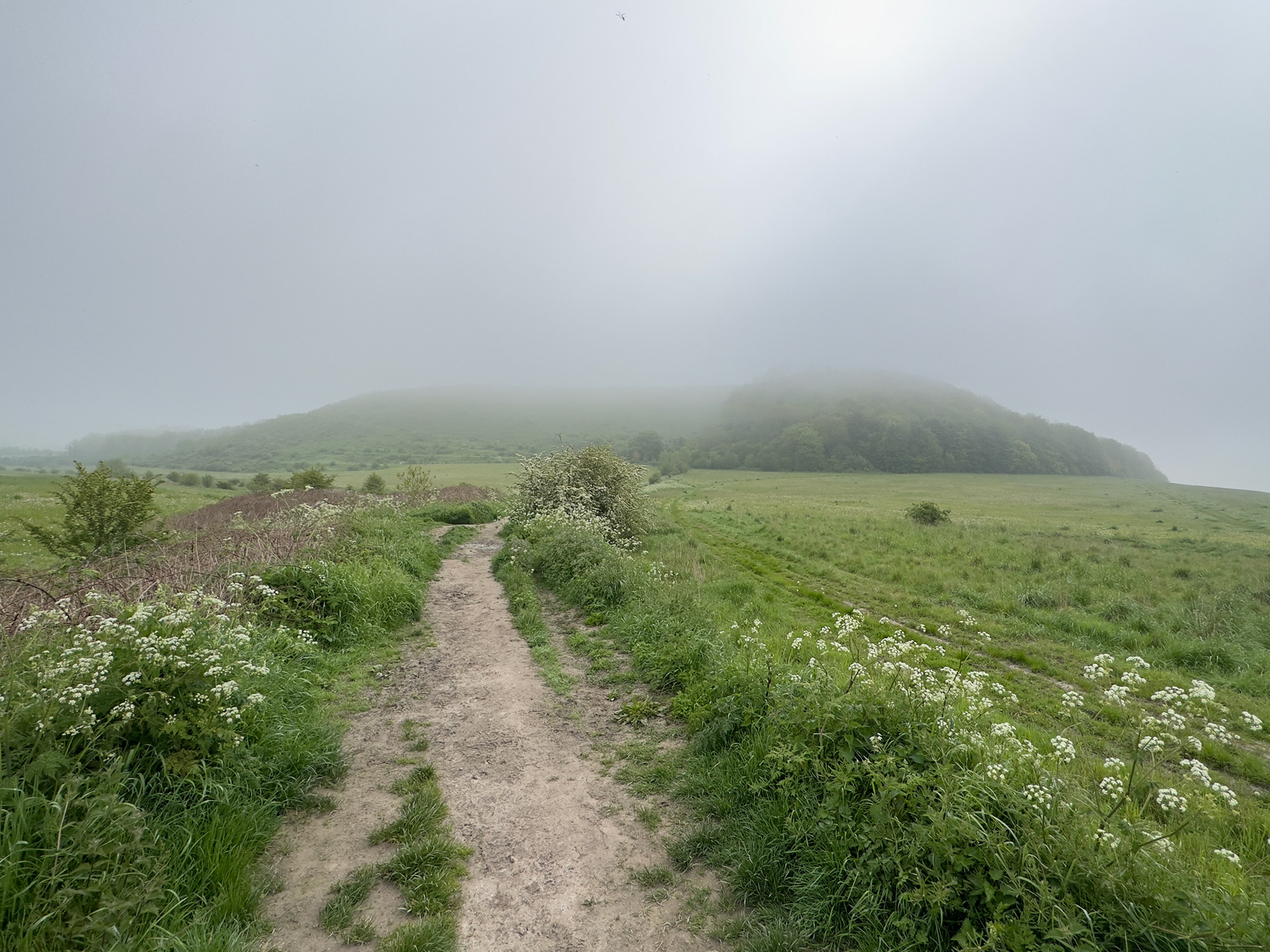
Old Ditch long barrow, Imber Ranges, Tilshead, Wiltshire, 2025.
Of the roughly 100 Neolithic long barrows in Wiltshire, about a third are found on Salisbury Plain.
Hidden in dense scrub, Old Ditch long barrow is not only the largest on the Salisbury Plain Training Area – and possibly the least well known – but is also considered the largest true long barrow in the UK. It measures 130 metres in length and around 50 metres in overall width, including substantial side ditches, and stands 3.5 metres high.
A scheduled ancient monument, the barrow was partially excavated twice during the 19th century.

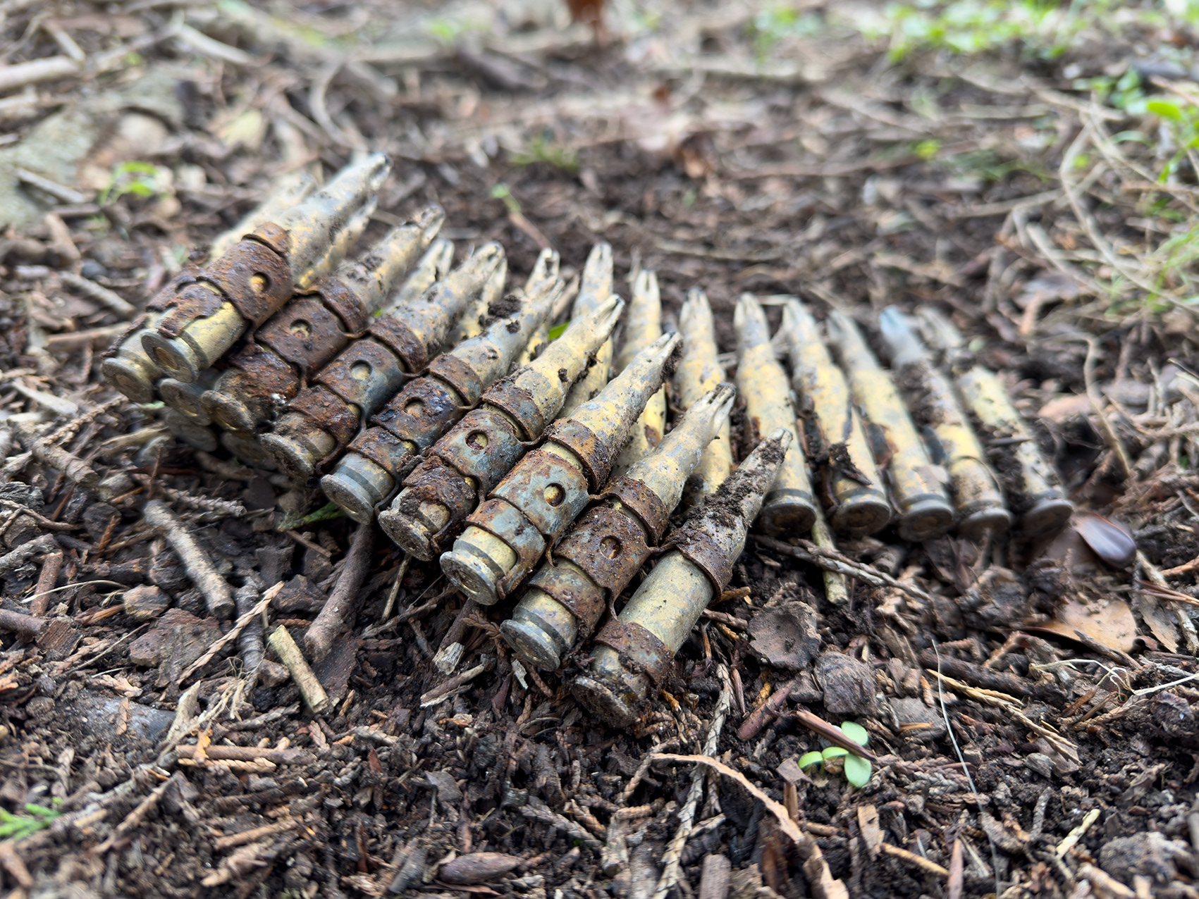
Belt-fed ammunition, White Hill, Imber Ranges, Wiltshire, 2023.
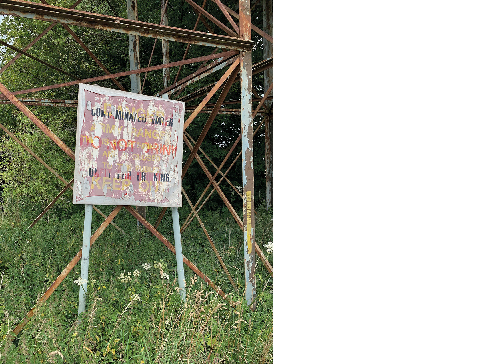
Note: If you are visiting the SPTA, do not touch any military debris; it may be dangerous.
Byeway (WARM39) towards the Harman Lines, Land Warfare Centre (LWC), Oxendean Down, Warminster Ranges, Wiltshire, 2023.
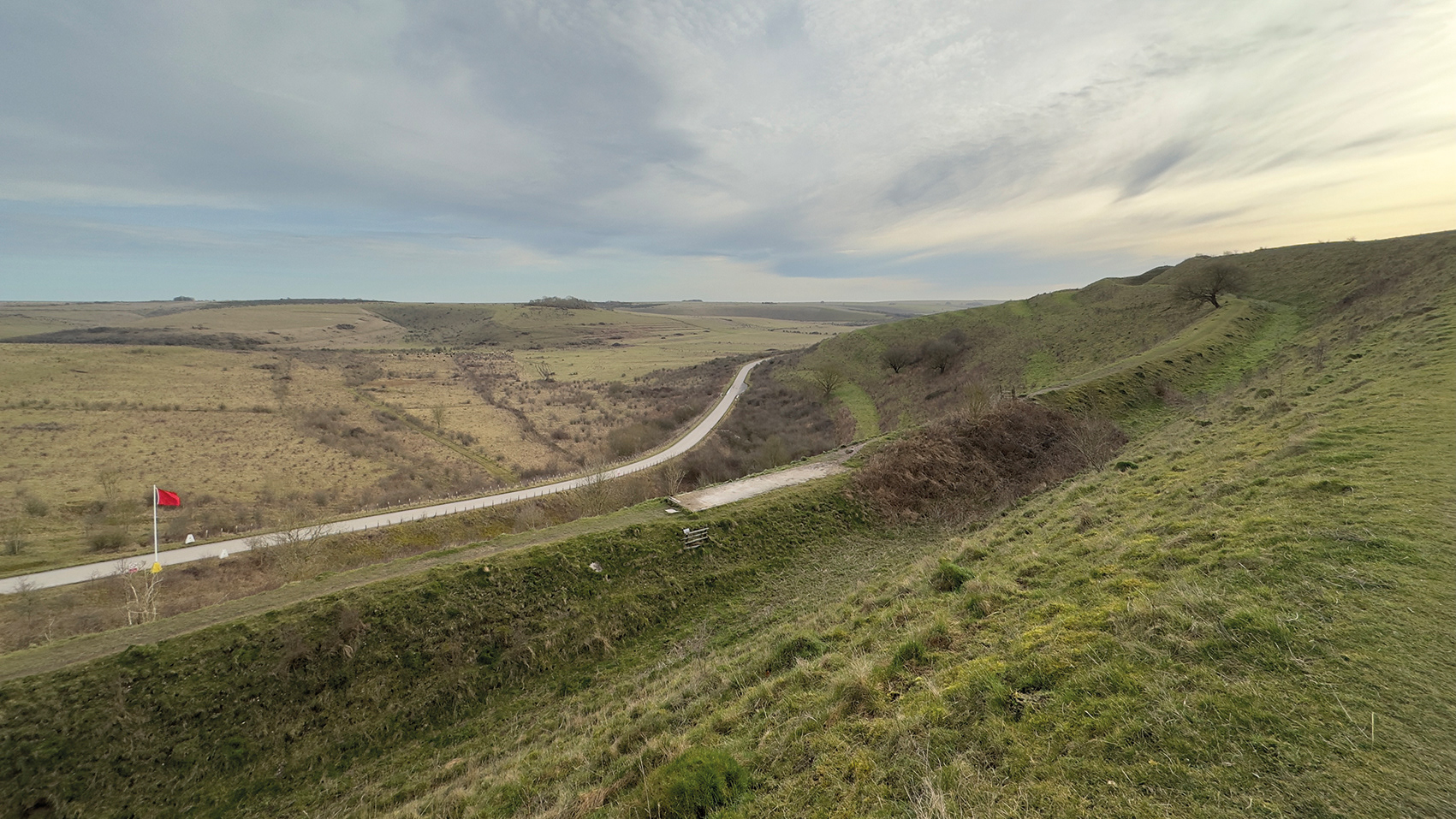
Southern Range Road (SRR) west of Middle Hill, Warminster Ranges, Wiltshire, 2021.
The 23 km long Southern Range Road (SRR) stretches across the southwestern part of the Salisbury Plain Training Area (SPTA), extending from the Harman Lines in the west to Tilshead in the east. Due to the high density of archaeological sites across the Plain, extensive archaeological work was undertaken both prior to and during the construction of the road. Over 30 sites were excavated and meticulously recorded, shedding light on the area's rich historical and cultural heritage.
Looking east from the White Horse Trail/Imber Range Perimeter Path (IRPP), Barn Bottom, Imber Ranges, Wiltshire, 2023.
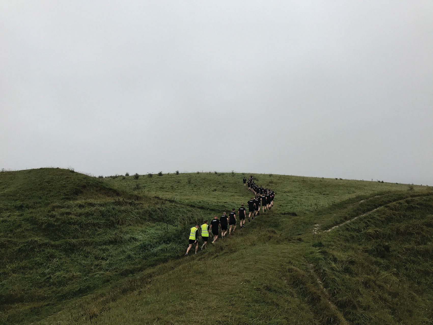
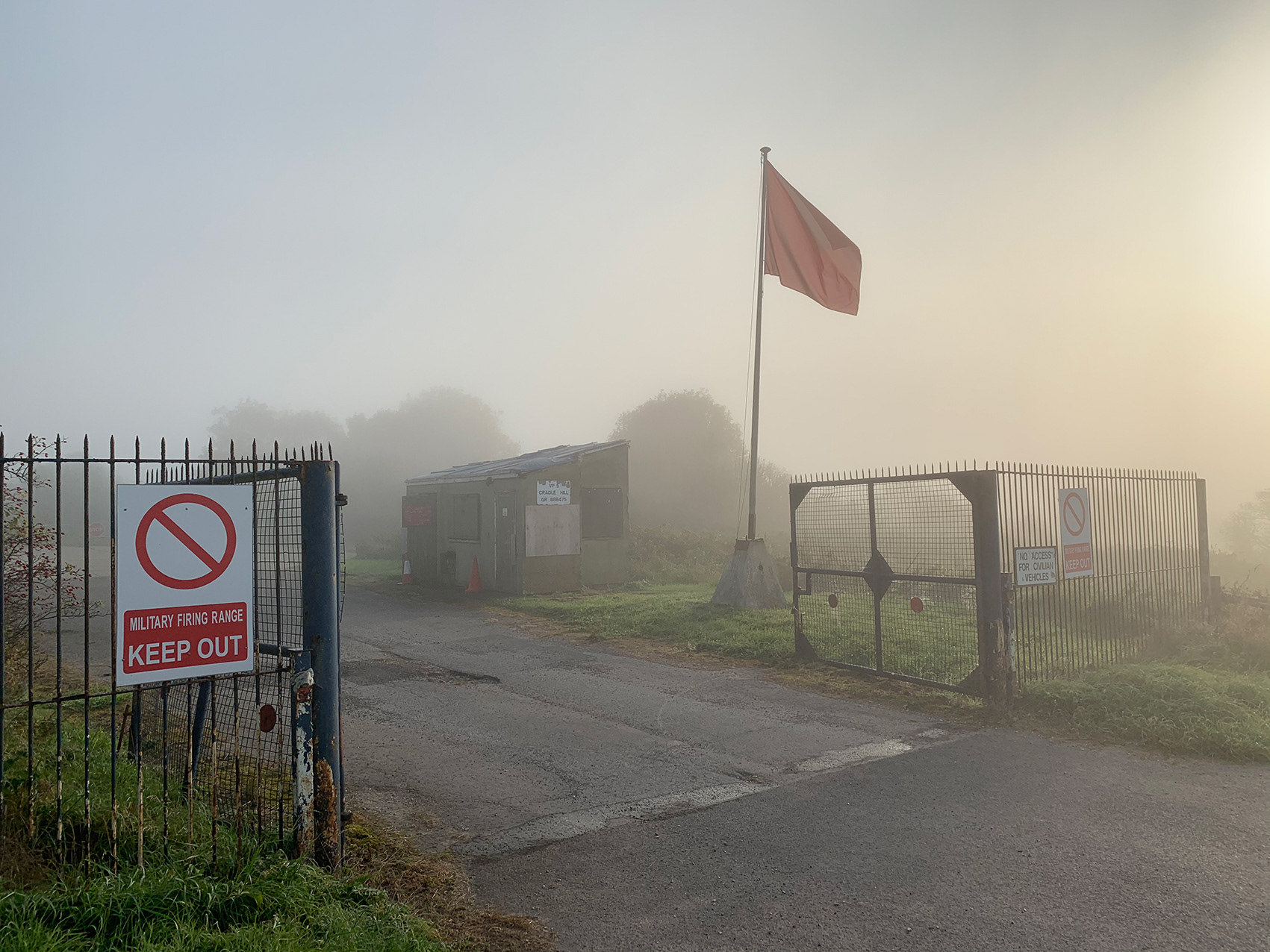
Walkers on the Imber Range Perimeter Path (IRPP), Cradle Hill, Warminster Ranges, Wiltshire, 2021.
Stoke Hill, Imber Ranges, Wiltshire, 2021.
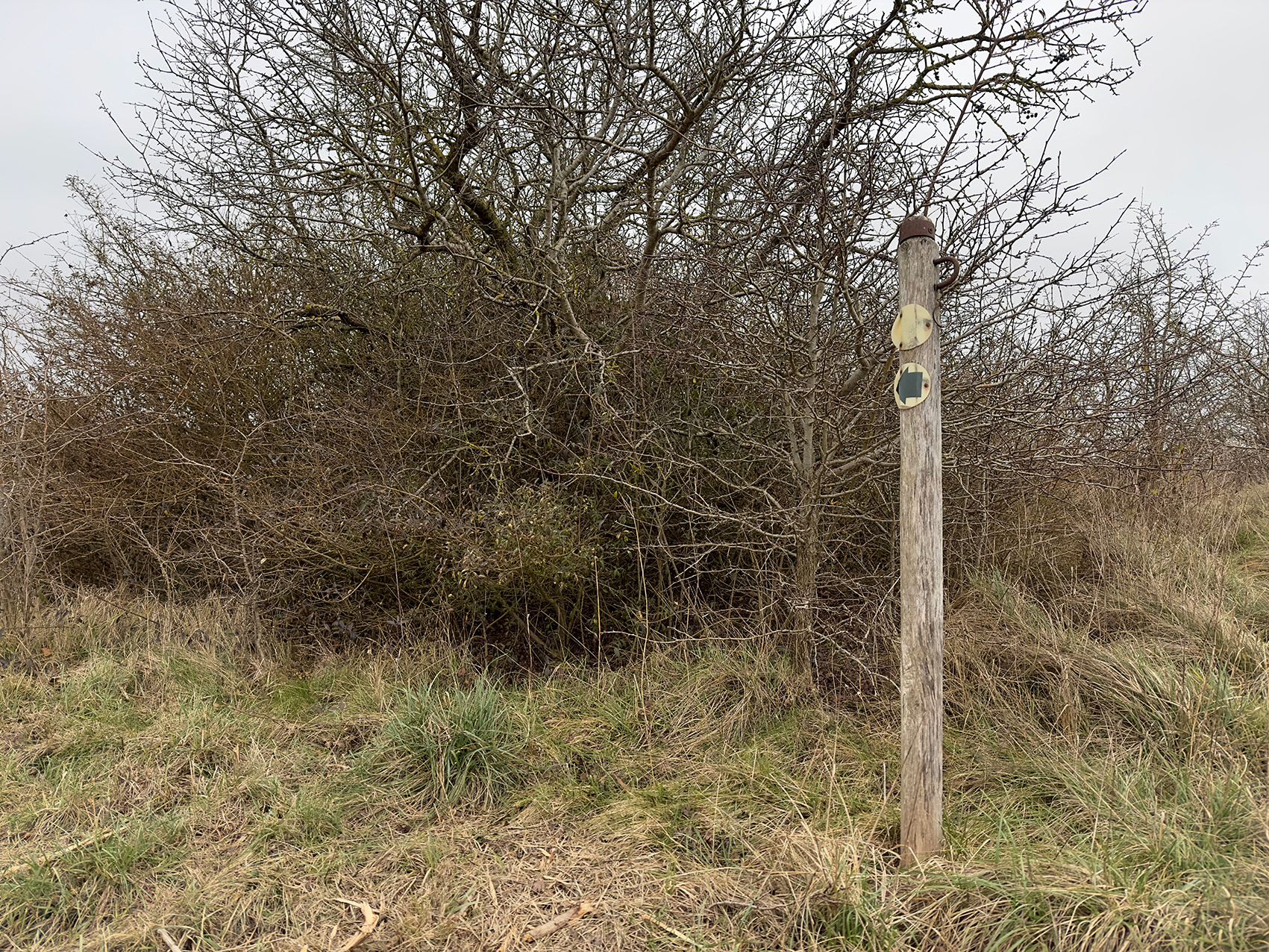
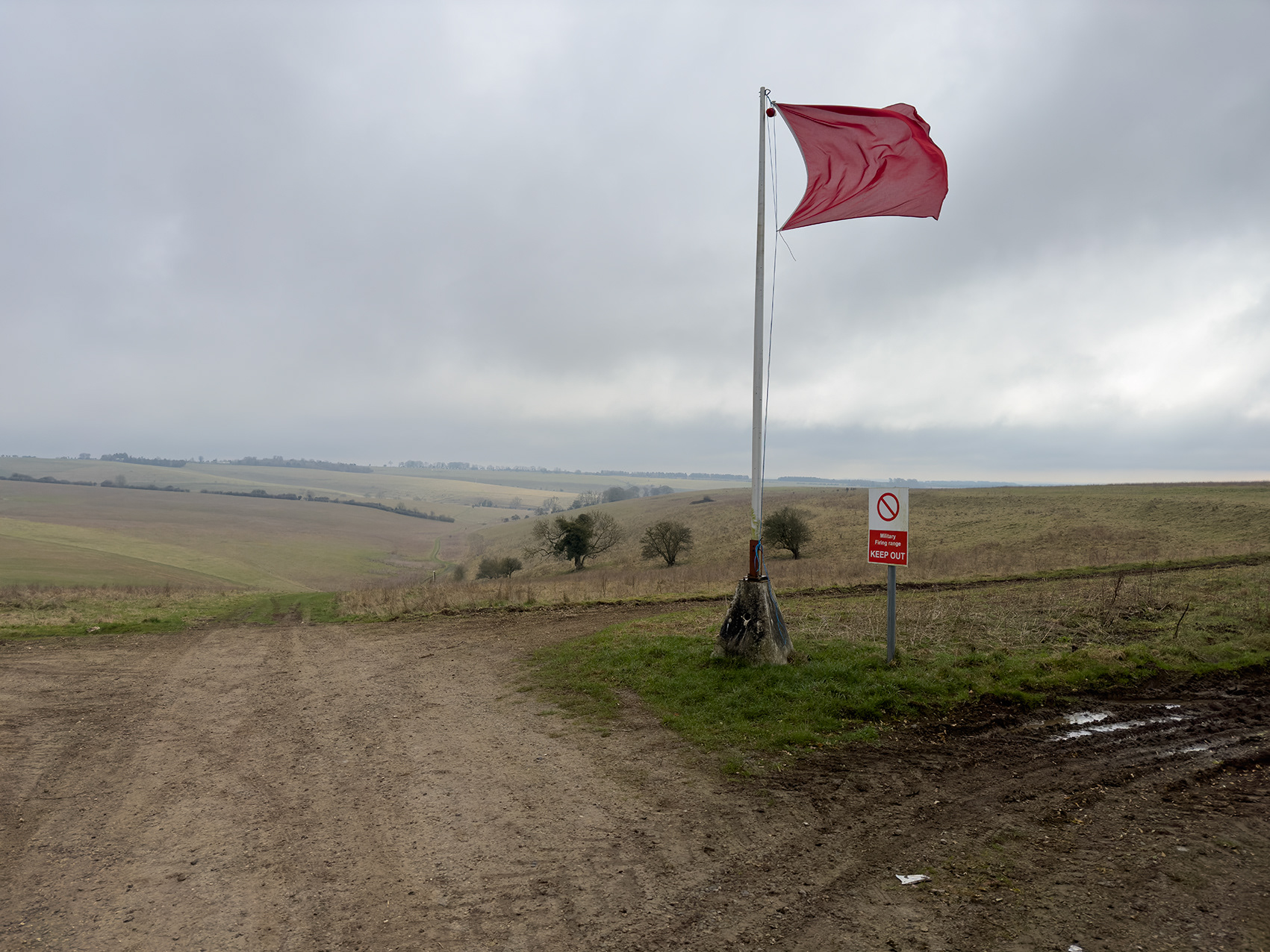
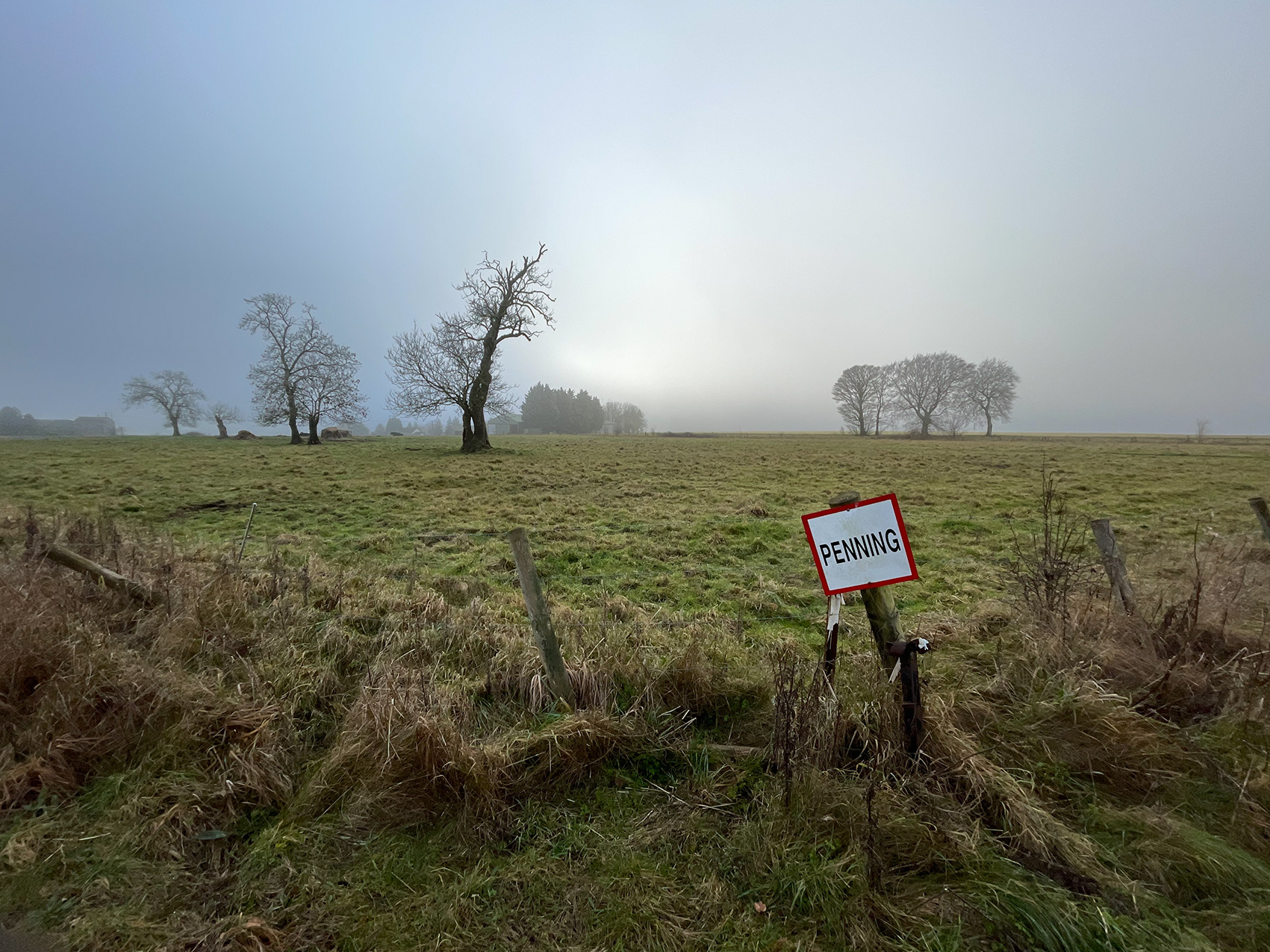
Land designated as "Penning" is under full agricultural tenancy; however, troops are permitted foot-only access when the land is free of livestock. Both Penning and SCHED 1—where military access is prohibited—are unique signs to the Salisbury Plain Training Area.
Imber Range Perimeter Path/Wessex Ridgeway (WARM64), Cradle Hill, Warminster Ranges, Wiltshire, 2024.
In the 1970s, Cradle Hill near Warminster became infamous for mysterious UFO sightings that were collectively referred to as "The Warminster Thing." The phenomenon began in the late 1960s and escalated throughout the following decade, with numerous reports of strange lights, odd noises, and unidentified flying objects observed in the skies above the area. Locals and visitors alike described hearing unexplained sounds, including a low hum and strange booming noises, often coinciding with sightings of glowing or fast-moving objects. The events garnered widespread media attention, and Cradle Hill became a popular spot for UFO enthusiasts hoping to witness the phenomenon firsthand. Though the true nature of "The Warminster Thing" remains unexplained, the incidents contributed to Warminster's reputation as a hotspot for UFO activity, cementing its place in British UFO lore.
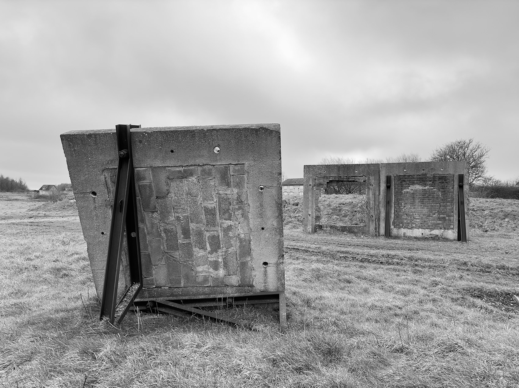
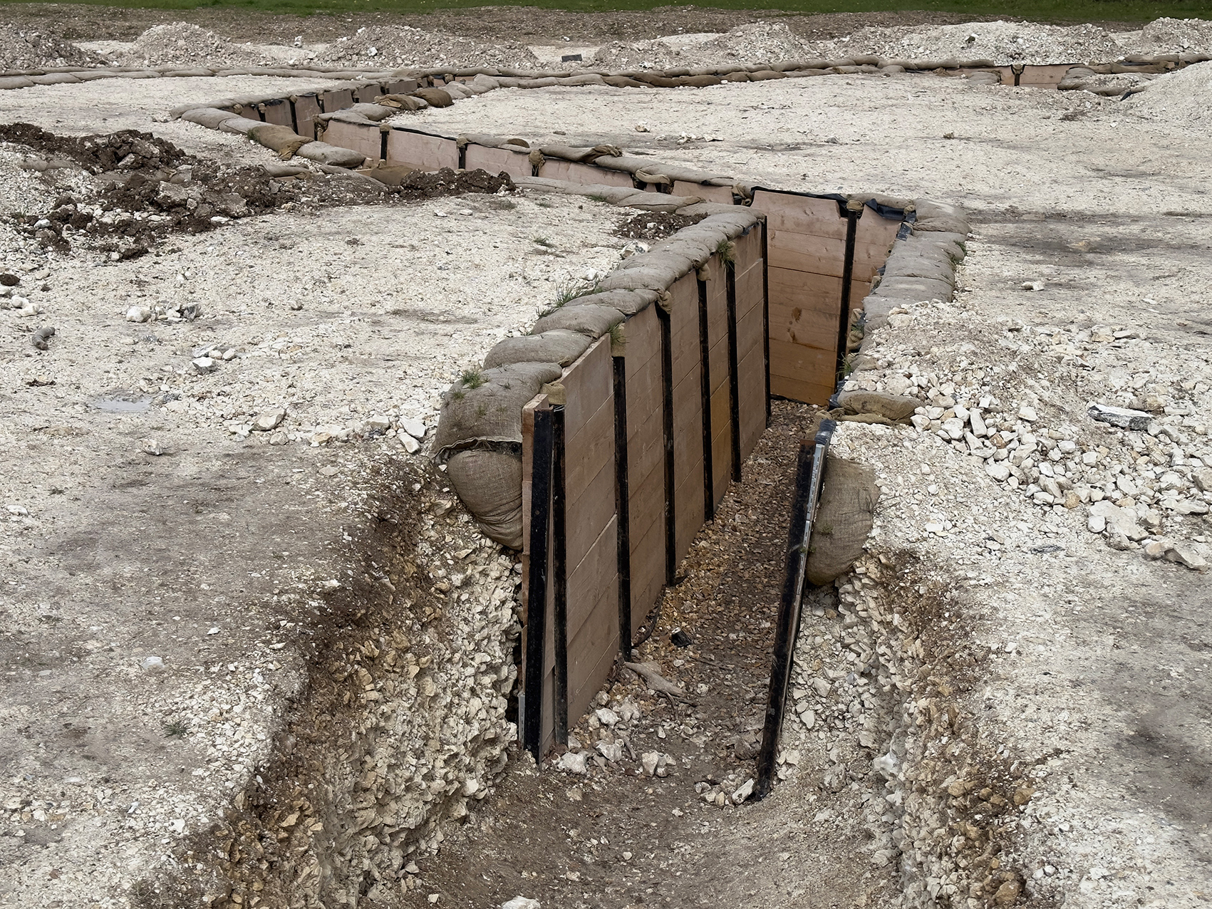
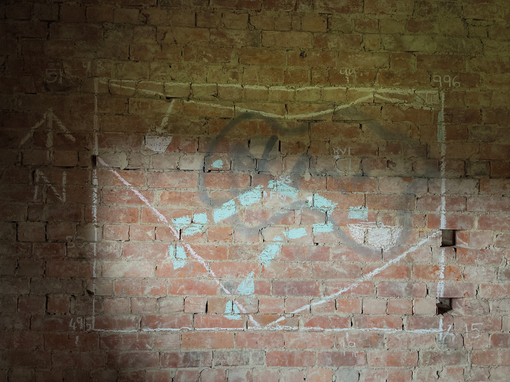
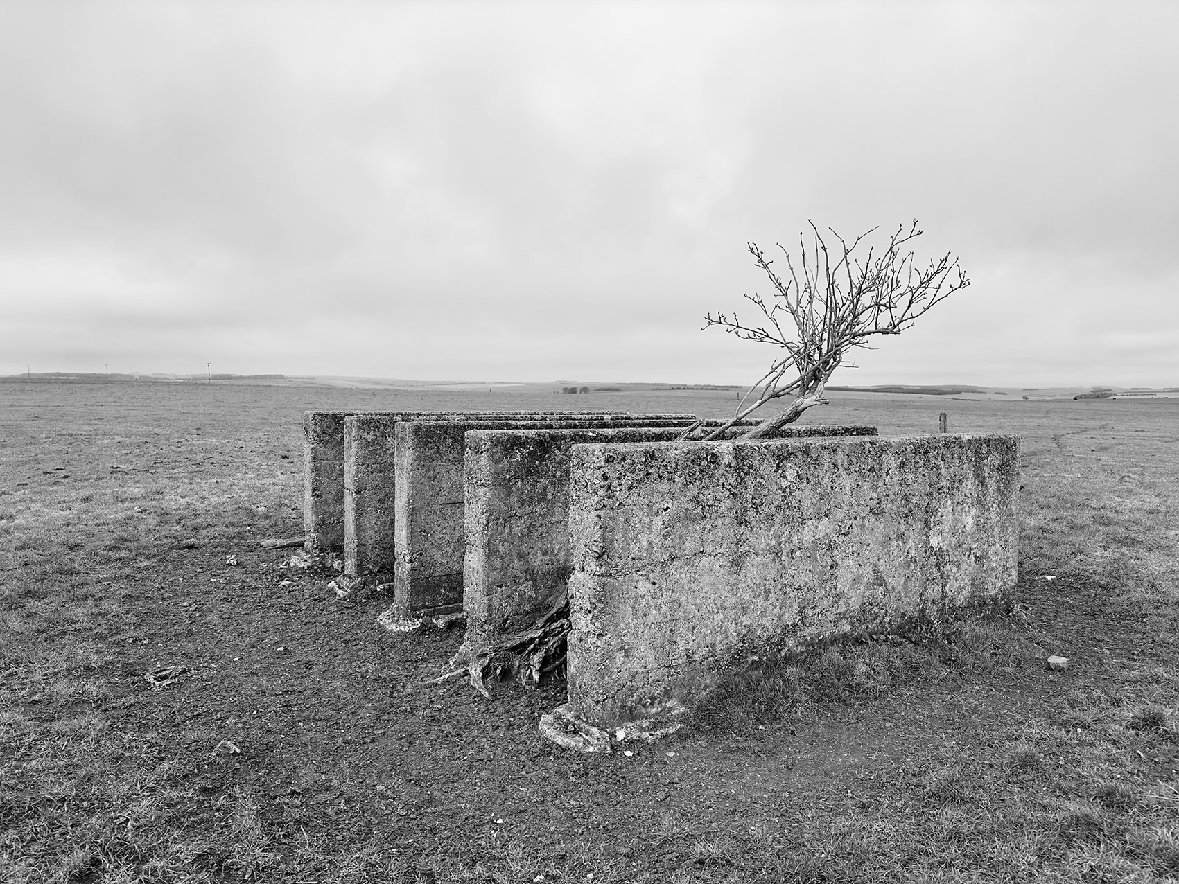
Disused Explosive Method of Entry (EMoE) training walls, Copehill Down training centre, Imber Ranges, Wiltshire, 2023.
Site of Searchlight Battery No. 531 44, 1940–45, Scratchbury Hill, Wiltshire, 2021.
Following their evacuation from Dunkirk in 1940, the 3 (Ulster) Searchlight Regiment was quickly re-equipped and assigned to Anti-Aircraft (AA) Command. The regiment was tasked with protecting RAF airfields in southwest England, establishing at least 15 batteries across the SPTA Centre and West. All of these were operational by 16 October 1940 and remained in service until 1945.