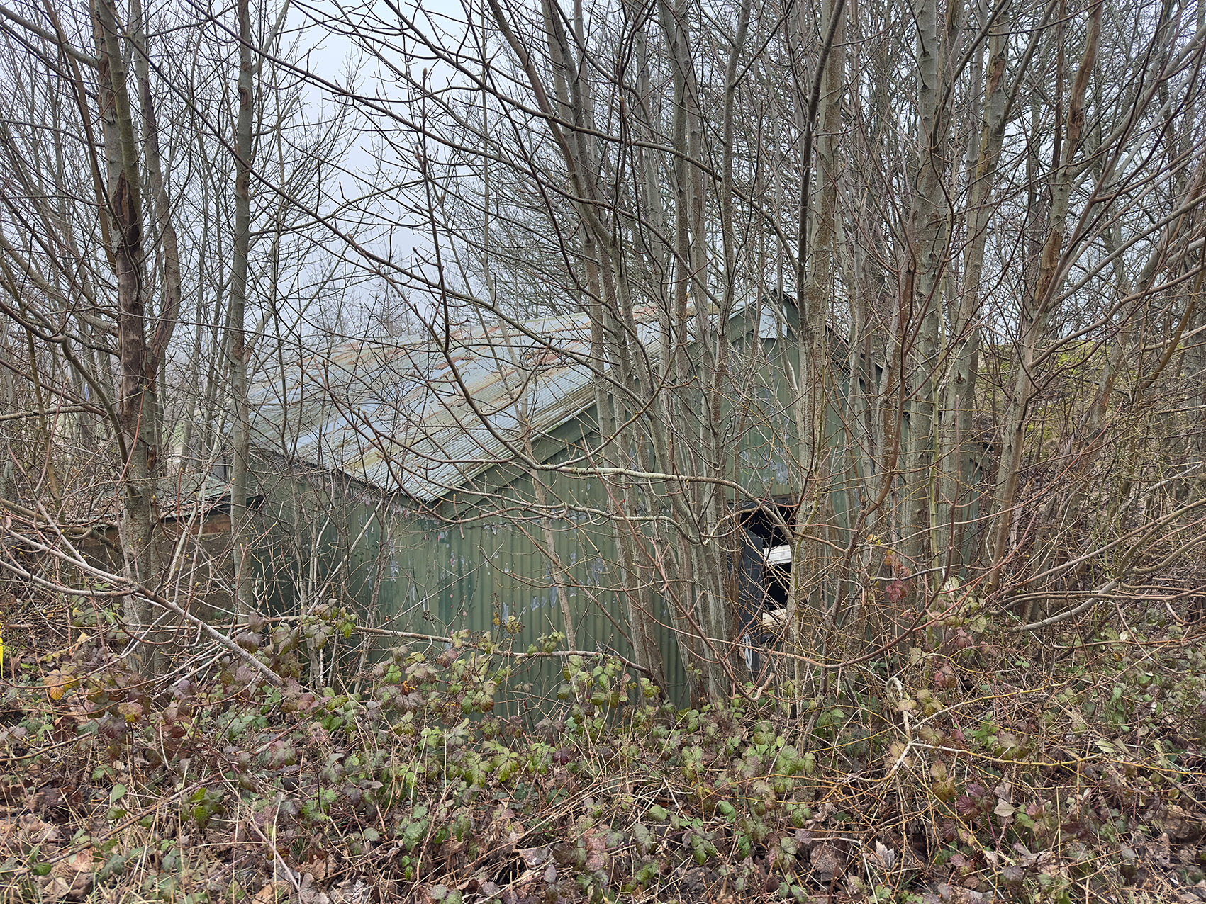
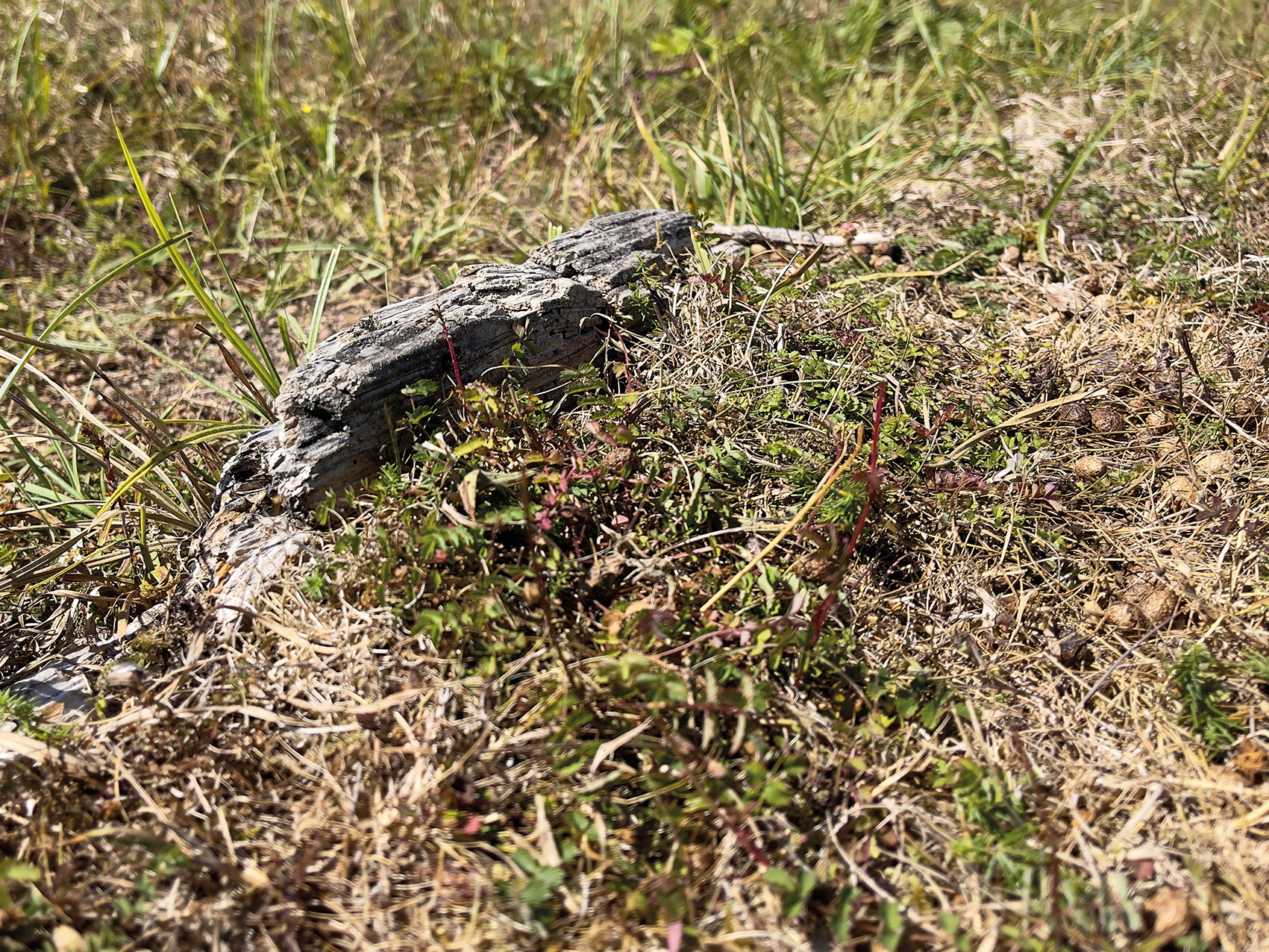
Target store, A Range (disused), Perham Down, Tidworth Ranges, 2026.
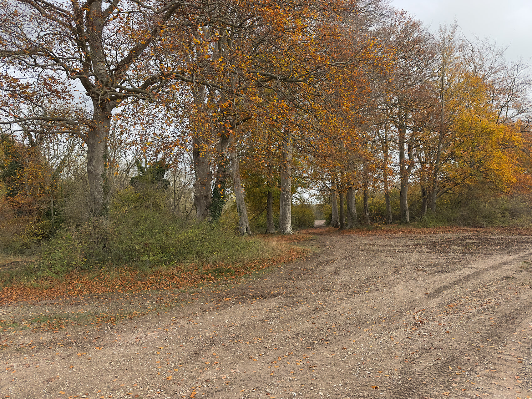
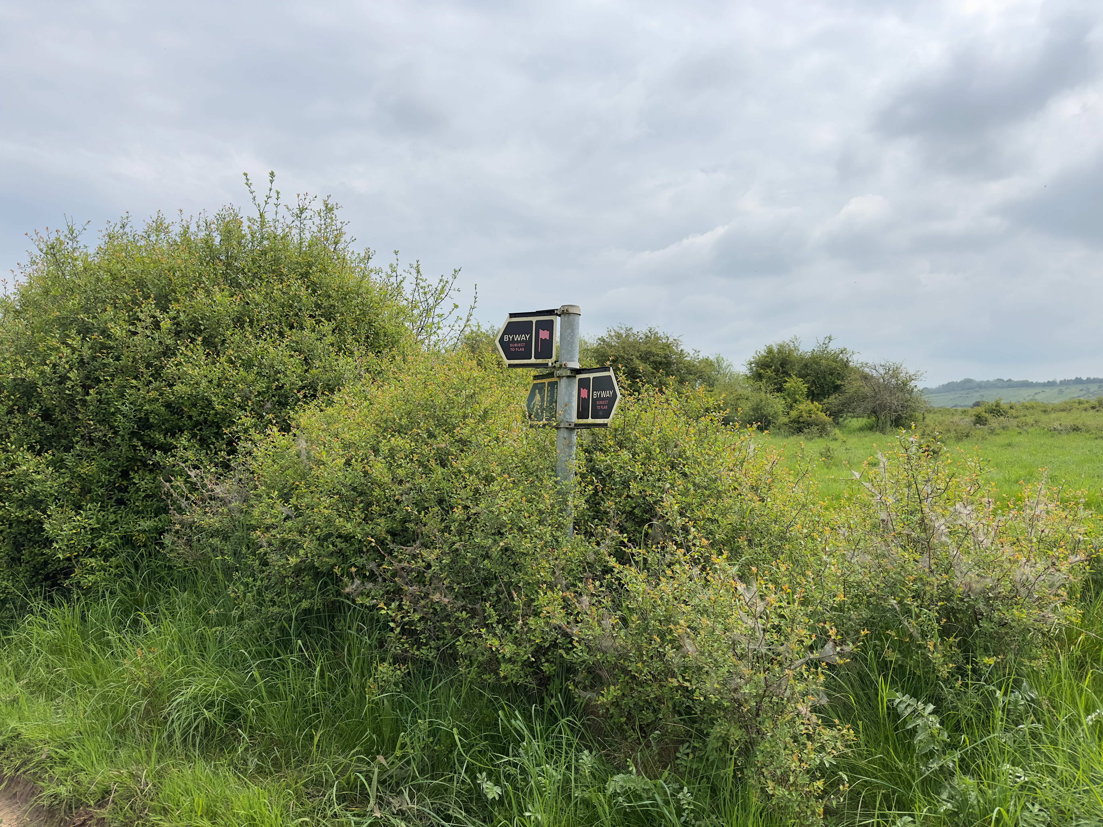
Within five years of the War Office beginning to purchase land on Salisbury Plain in 1897, five tented camps had been established in and around the village of Tidworth. South of Perham Down Camp (1899), two 900-yard rifle ranges were constructed on Perham Down around 1903.
The rifle ranges, A and B, ran parallel on a north-east to south-west axis. The firing points lay to the north-east, with the targets to the south-west, the geography of Warren Hill forming a natural butt stop. Adjacent to each line of targets stood a target store, the bulk of each building set below ground level to protect range engineers from stray fire.
In 1915 the tents of Perham Down Camp were replaced with permanent huts, and the target stores may date from this phase of construction, or from a slightly later period.
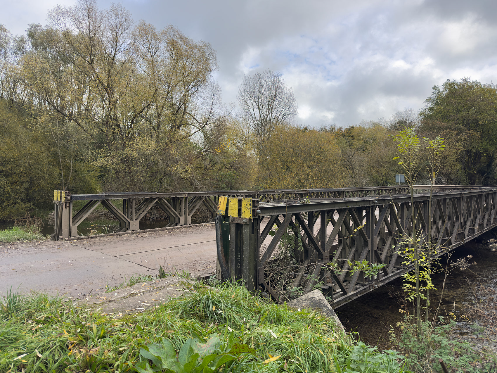
Bailey Bridge, River Avon, Charlie Crossing (C/C1), Tidworth Ranges, Wiltshire, 2025.
Engineer Sir Donald Bailey (1901–85) joined the Experimental Bridging Establishment in Christchurch, Dorset, in 1928. By the mid-1930s, he was sketching ideas for a modular bridge that could be quickly built in the field. When the Second World War created an urgent need for such a design, Bailey’s concept became reality.
The first Bailey bridge was completed in early 1941, with one of the test spans still standing on Stanpit Marsh, Dorset. Its first use in action came in 1942 in Tunisia, proving so effective that the US Army soon adopted the design.
Praised by Eisenhower as one of the key engineering achievements of the war, the Bailey bridge became vital to Allied success – and remains in use worldwide today in both military and civilian settings.
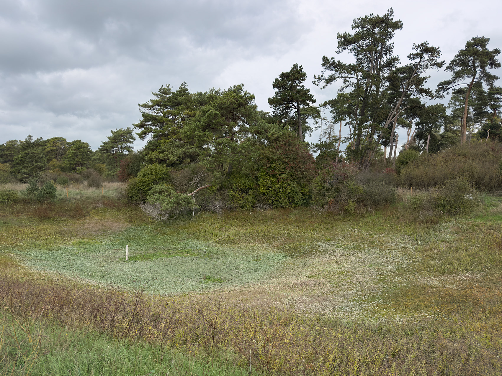
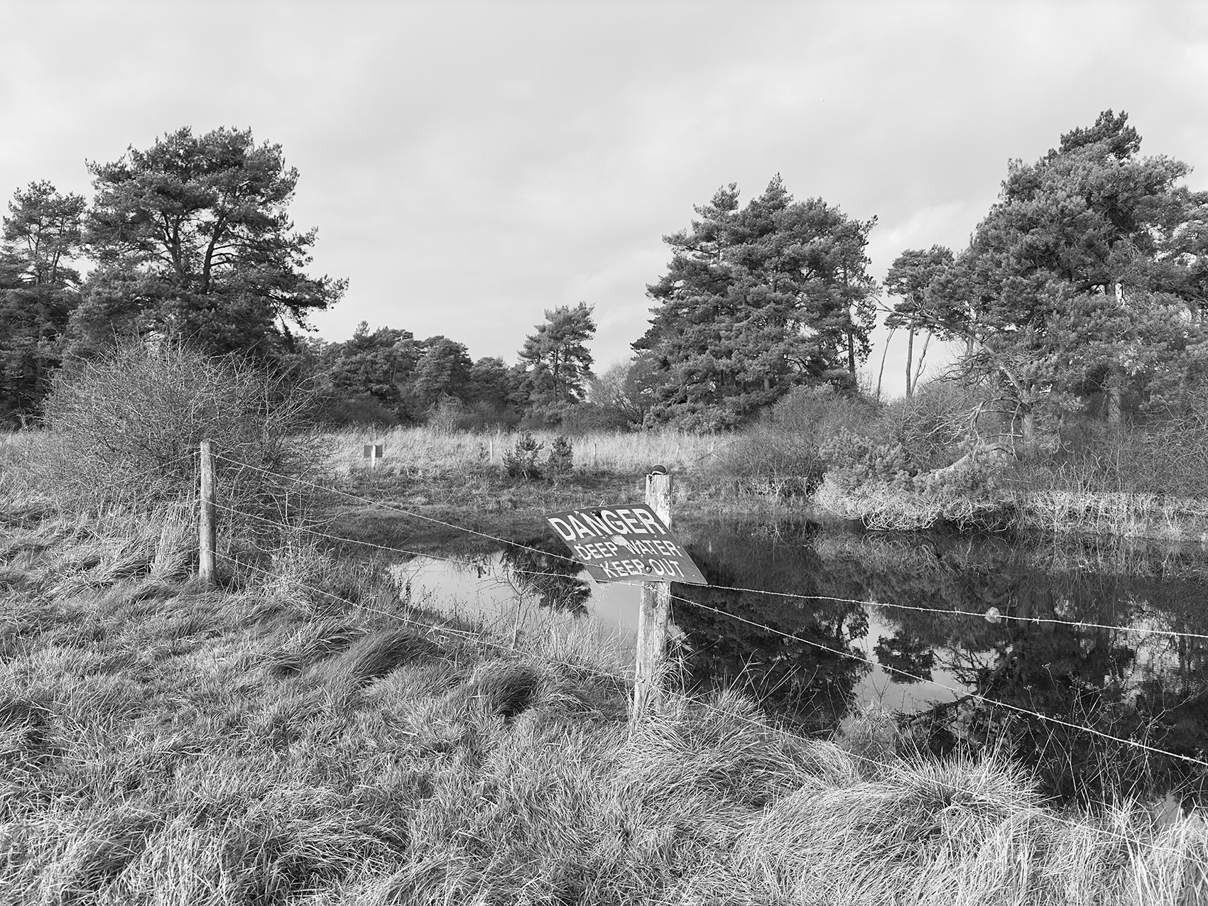
Dew Pond (Conservation Area), south of Goat Wood, Bulford Ranges, Wiltshire, 2025.
The free-draining, calcareous soils of Salisbury Plain mean there is little surface water. This becomes especially apparent during hot summers, when the few established pools quickly dry out.
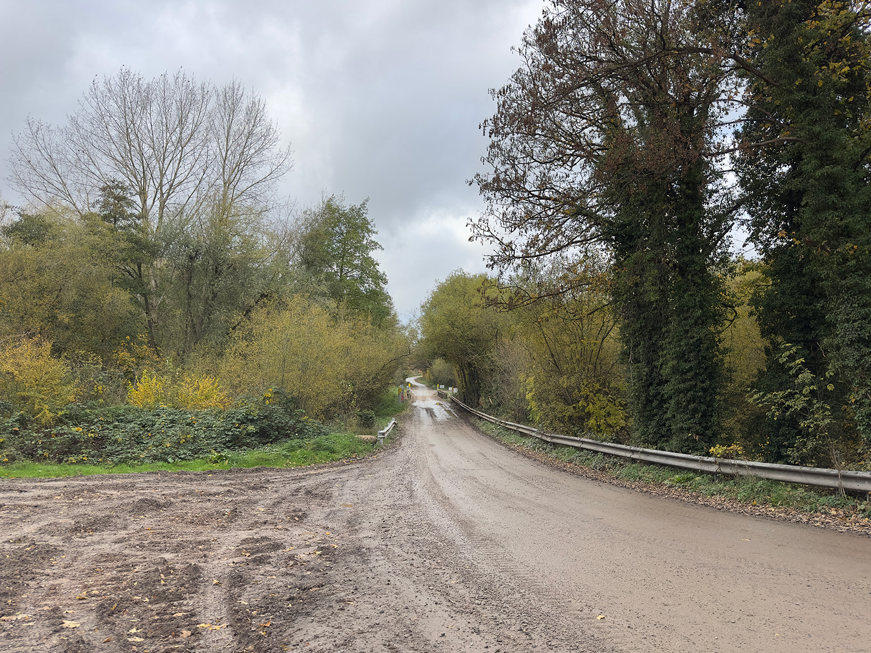
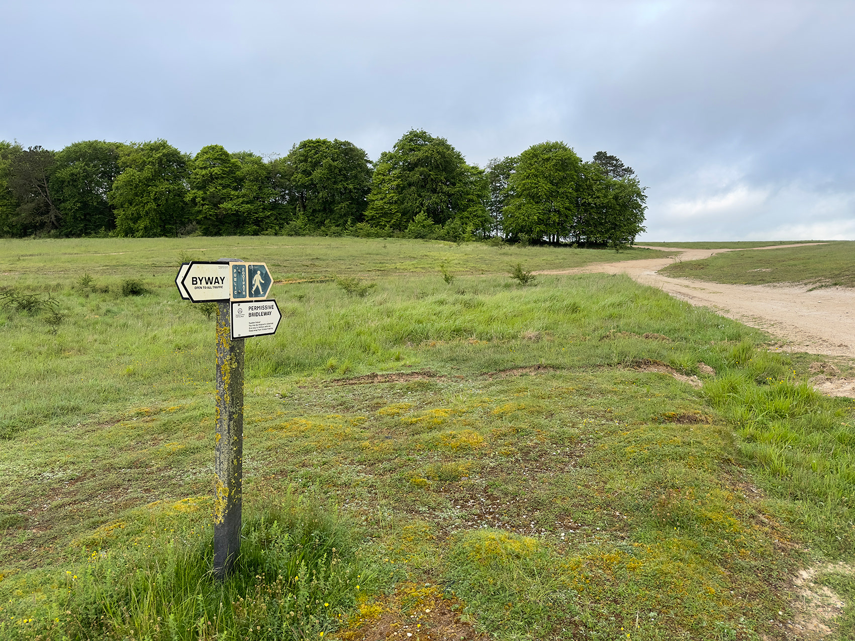
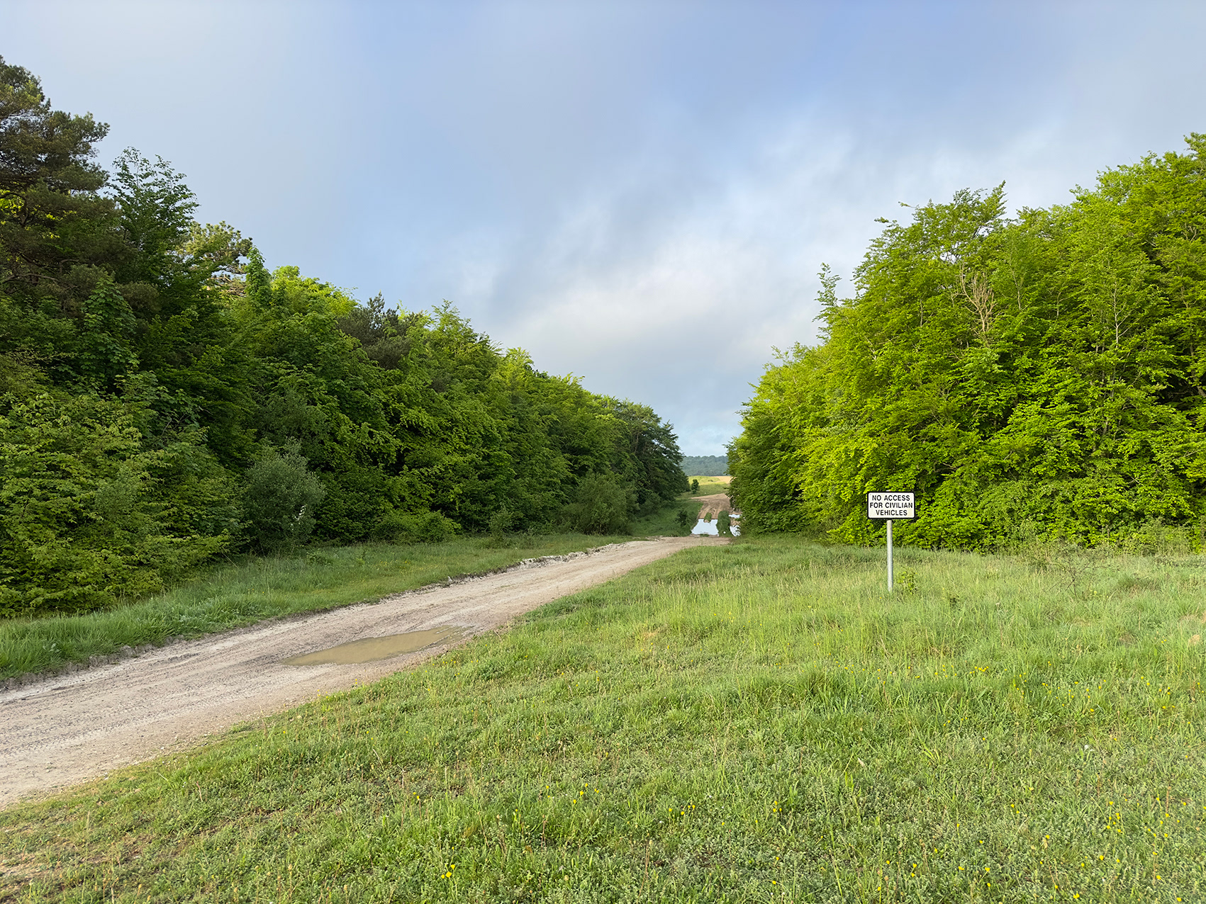
Eastern Transit Route / Permissive Byway (looking west towards Charlie Crossing), Tidworth Ranges, Wiltshire, 2025.
Three crossing points, Alpha, Bravo and Charlie, allow military traffic to cross the busy A345 Upavon to Durrrington road. And move freely between the eastern Tidworth Ranges and the Larkhill Artillery Range to the west.
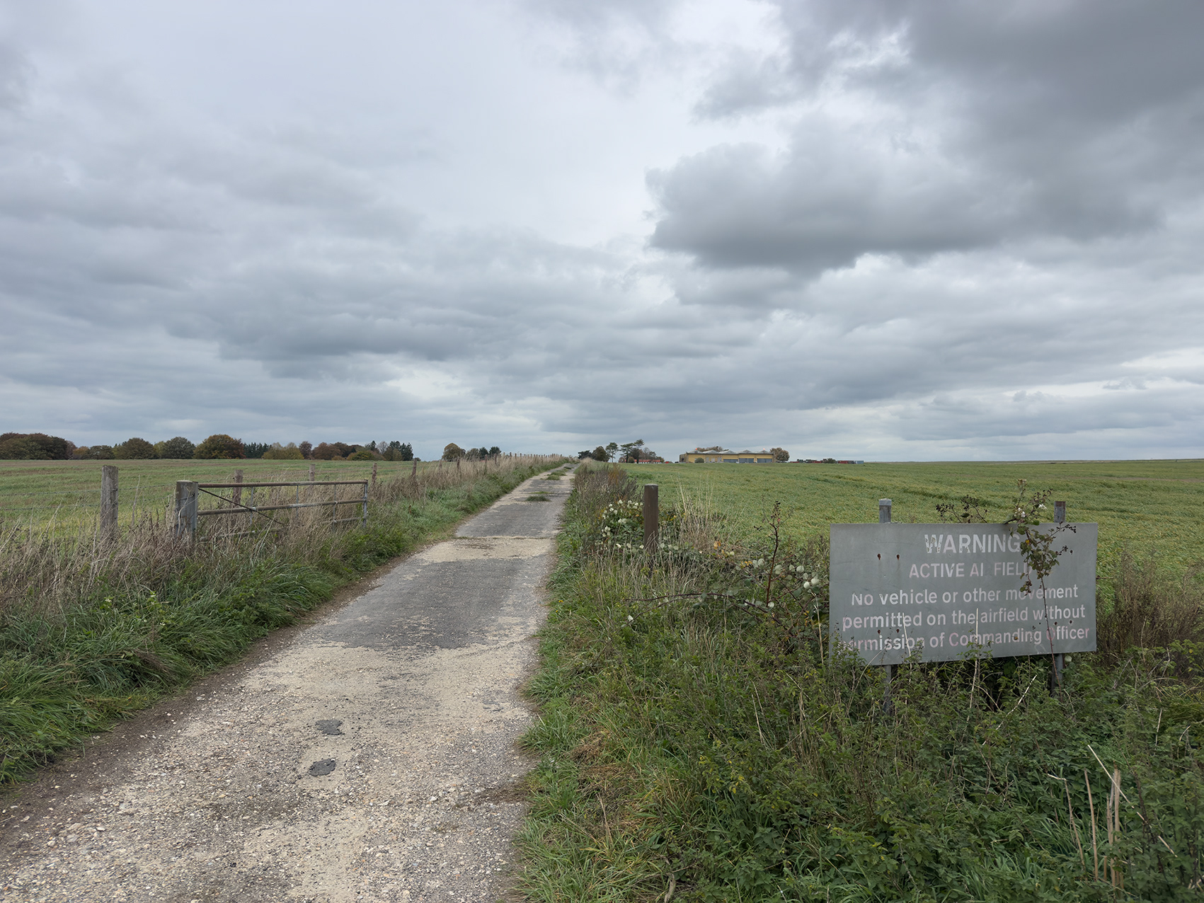
Southern gate, Netheravon Airfield, Tidworth Ranges, Wiltshire, 2025.
One of the oldest aerodromes still in military use, Netheravon was established in 1913 by the Royal Flying Corps. It became RAF Netheravon in 1918 and remained under air force control until 1963, when it passed to the Army Air Corps and was renamed AAC Netheravon. The Army Air Corps relocated to Middle Wallop, Hampshire, in 2012.
Several early buildings from 1913 and 1914, including the officers’ mess and quarters, survive and are now Grade II listed, as are the Handley Page storage-coupled sheds built in 1918.
Today, the grass airfield is home to the Joint Services Parachute Centre, part of the Army’s adventurous training programme for serving and injured personnel, and to the Army Parachute Association.
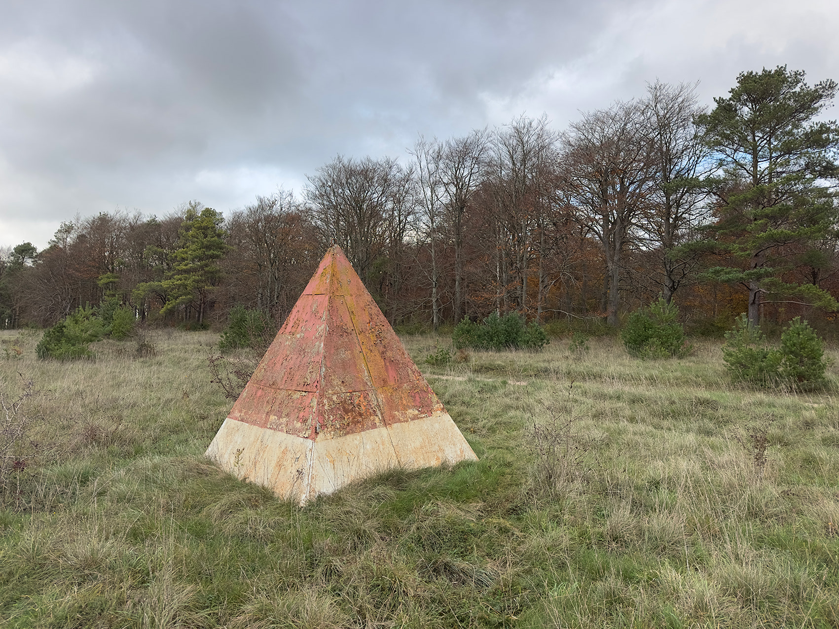
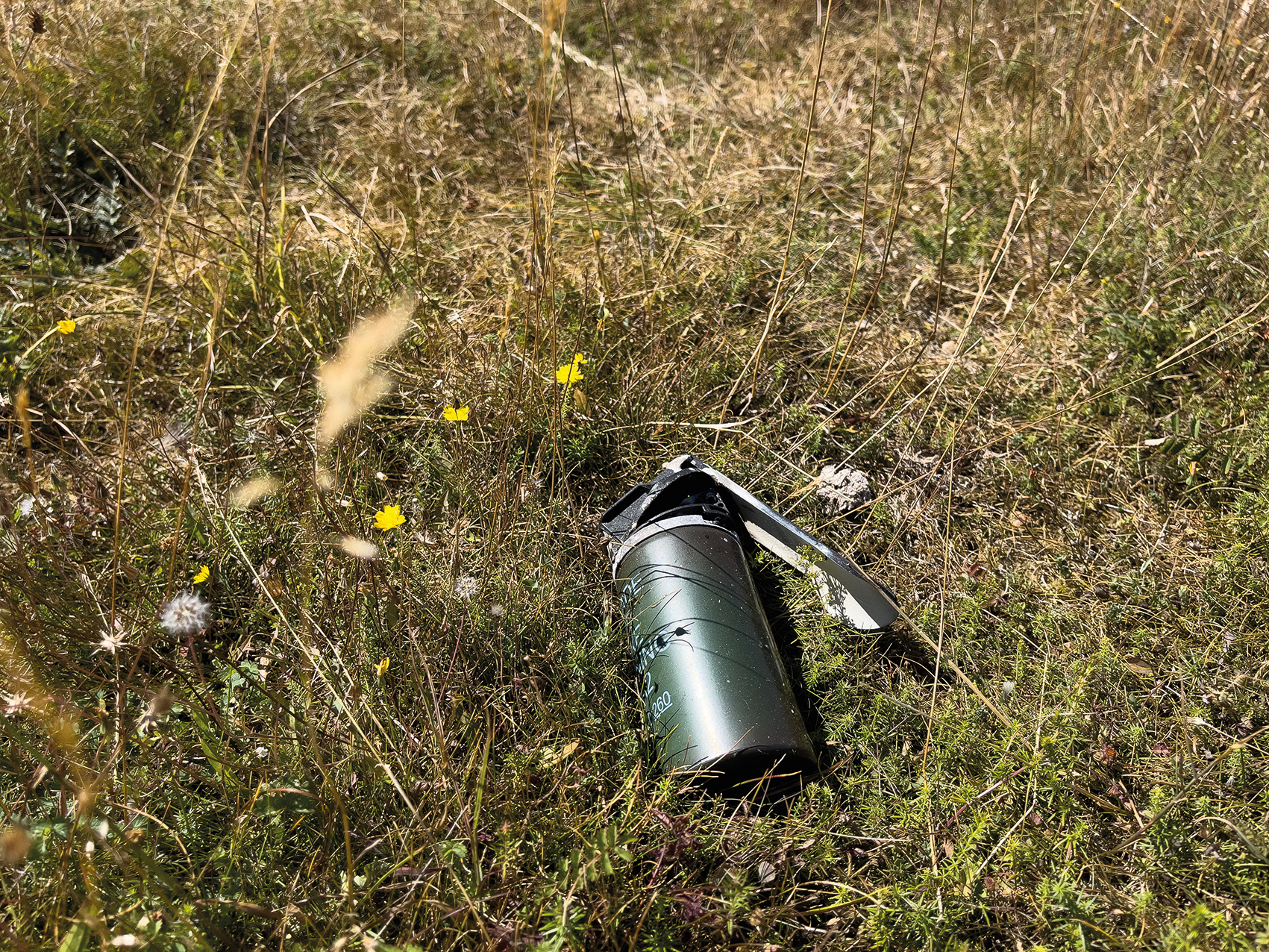
Artillery Ranging Target (disused), Dunch Hill, Tidworth Ranges, Wiltshire, 2025.
On the southeastern edge of Tidworth Ranges, three ranging targets sit in an east-west orientation at Dunch Hill, Bourne Bottom and Silk Hill. Each is approximately 1400 metres from the next. They likely fell into disuse in the 1980s or 1990s, as GPS and other digital systems were developed.
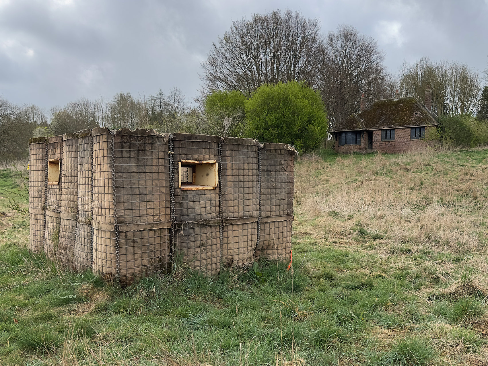
Hesco sangar, Baden Down Farm, Tidworth Ranges, Wiltshire, 2025.
A fortified sentry post, the word sangar was adopted from Hindi and Pashto, and originates from the Persian sang, meaning “stone”. It was first used by the British Indian Army around 1901.
The flat-pack Hesco barrier system enables sangars and other protective structures to be assembled within hours.
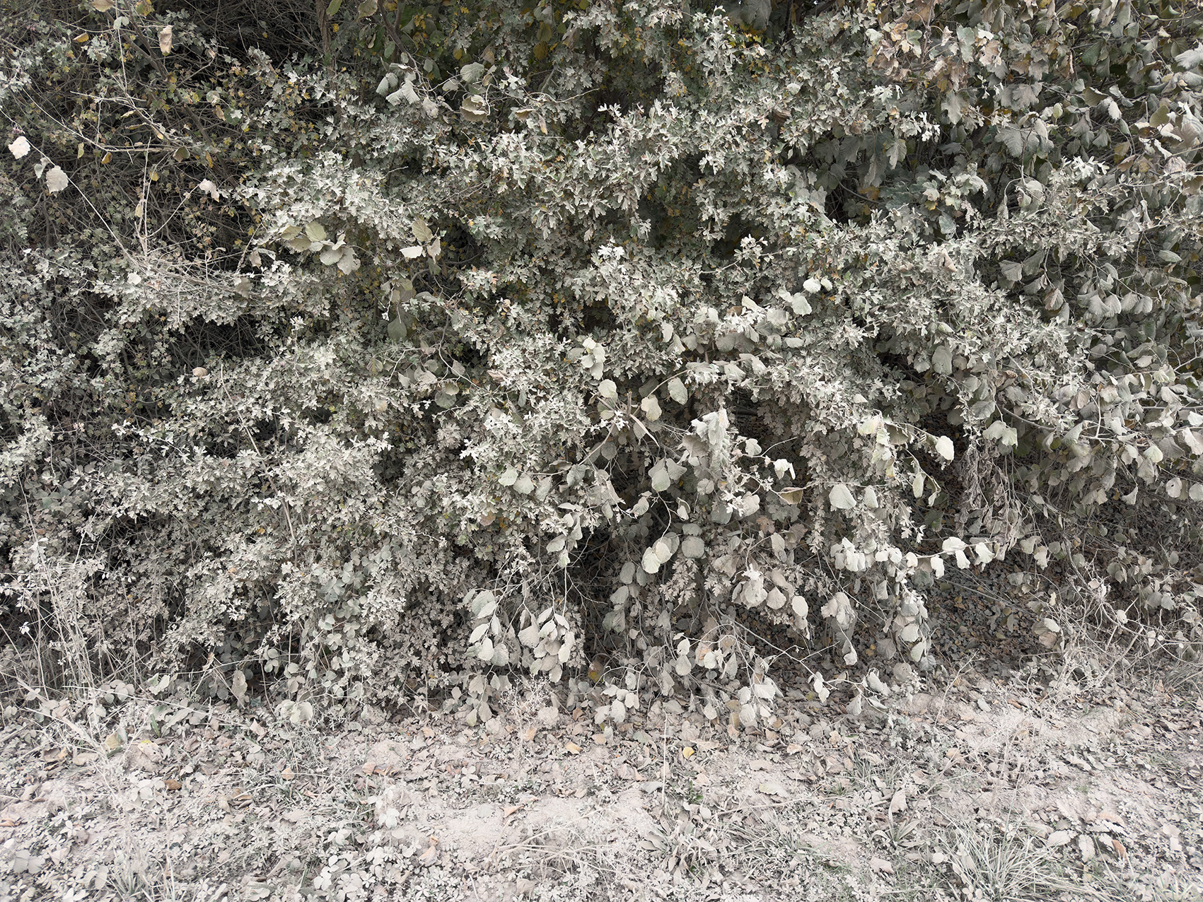
Hedgerow, Charlie Crossing, Tidworth Ranges, Wiltshire, 2025.
Dust thrown up by military vehicles along the east–west transit route through Charlie Crossing settles thickly on the hedgerows, leaving them with an eerie, monochrome cast.
Barrow Clump, east of Ablington, Tidworth Ranges, Wiltshire, 2024.
Salisbury Plain holds the largest concentration of archaeological sites in the UK, with Barrow Clump being one of its most significant. This Scheduled Ancient Monument has been a focal point of human activity for over 5,000 years, offering a rare window into the past.
At its heart is an Early Bronze Age burial mound, or bowl barrow, which holds considerable historical importance. Beneath this mound, archaeologists have uncovered evidence of a Neolithic settlement, while above it lies a sixth-century Anglo-Saxon cemetery.
A partial excavation of the site in the 19th century produced an inhumation with a beaker and flint knife and three possible subsequent interments.
In recent years, Barrow Clump has been the focus of renewed archaeological interest through Operation Nightingale, a project that uses archaeology as a therapeutic tool for veterans. Launched by the Ministry of Defence (MOD) in 2011, the initiative gives soldiers recovering from injury or trauma the opportunity to engage in field archaeology.
Operation Nightingale’s involvement at Barrow Clump began in 2015, when a team of veterans joined professional archaeologists to explore the site. The project aimed to uncover new insights into the history of the mound and its surroundings, while offering the veterans a chance to participate in active fieldwork. Their contributions led to the discovery of key artefacts and fresh archaeological findings.
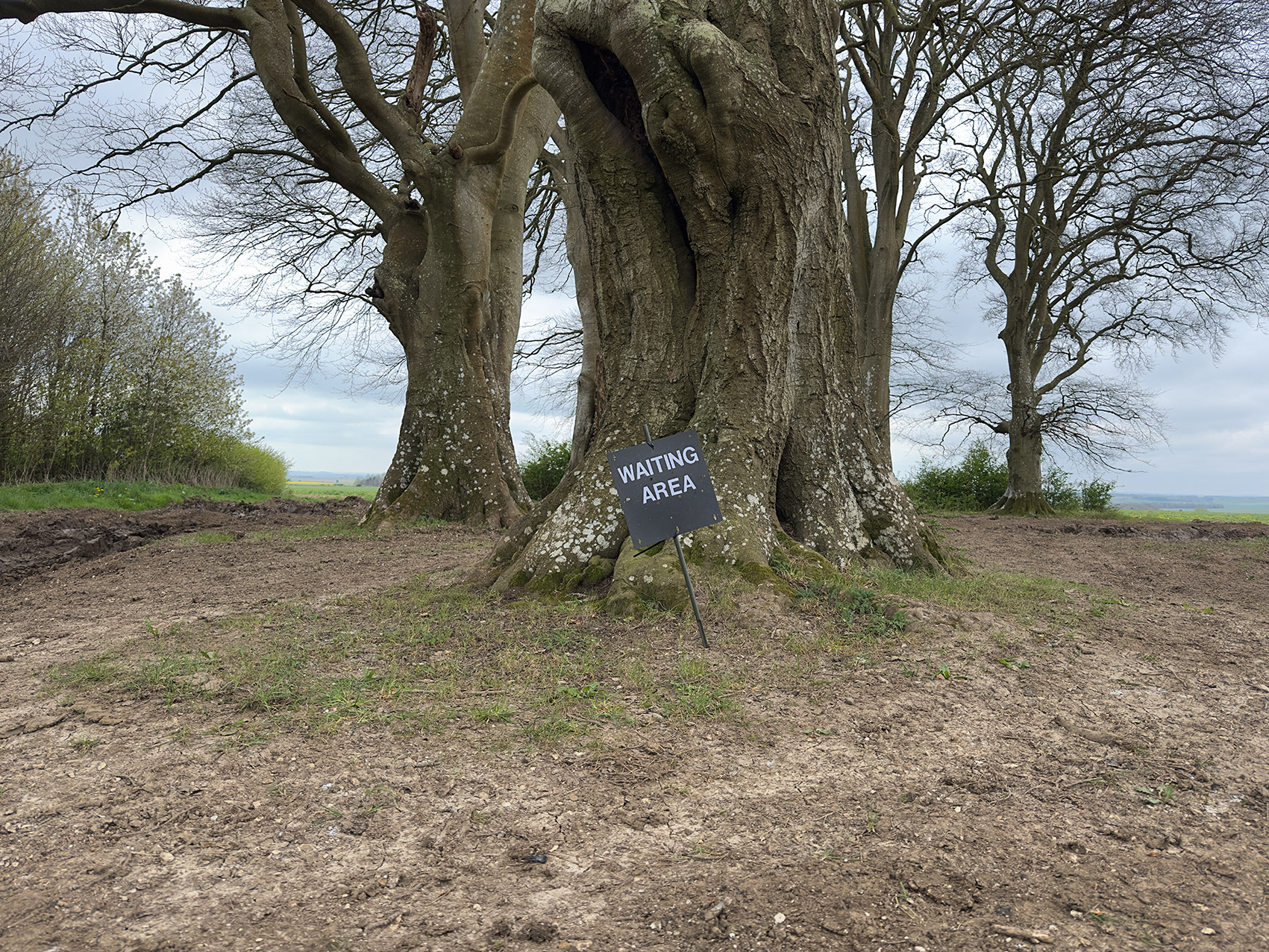
Waiting Area, Dreweatt’s Clump, Coombe Hill, Tidworth Ranges, Wiltshire, 2025.
Syrencot Penning, Tidworth Ranges, Wiltshire, 2025.
Originally, an 18th-century enclosure for livestock. Today, Syrencot Penning is frequently used as a staging point for armoured vehicles during military exercises.
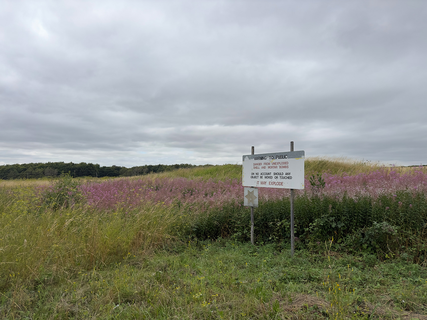
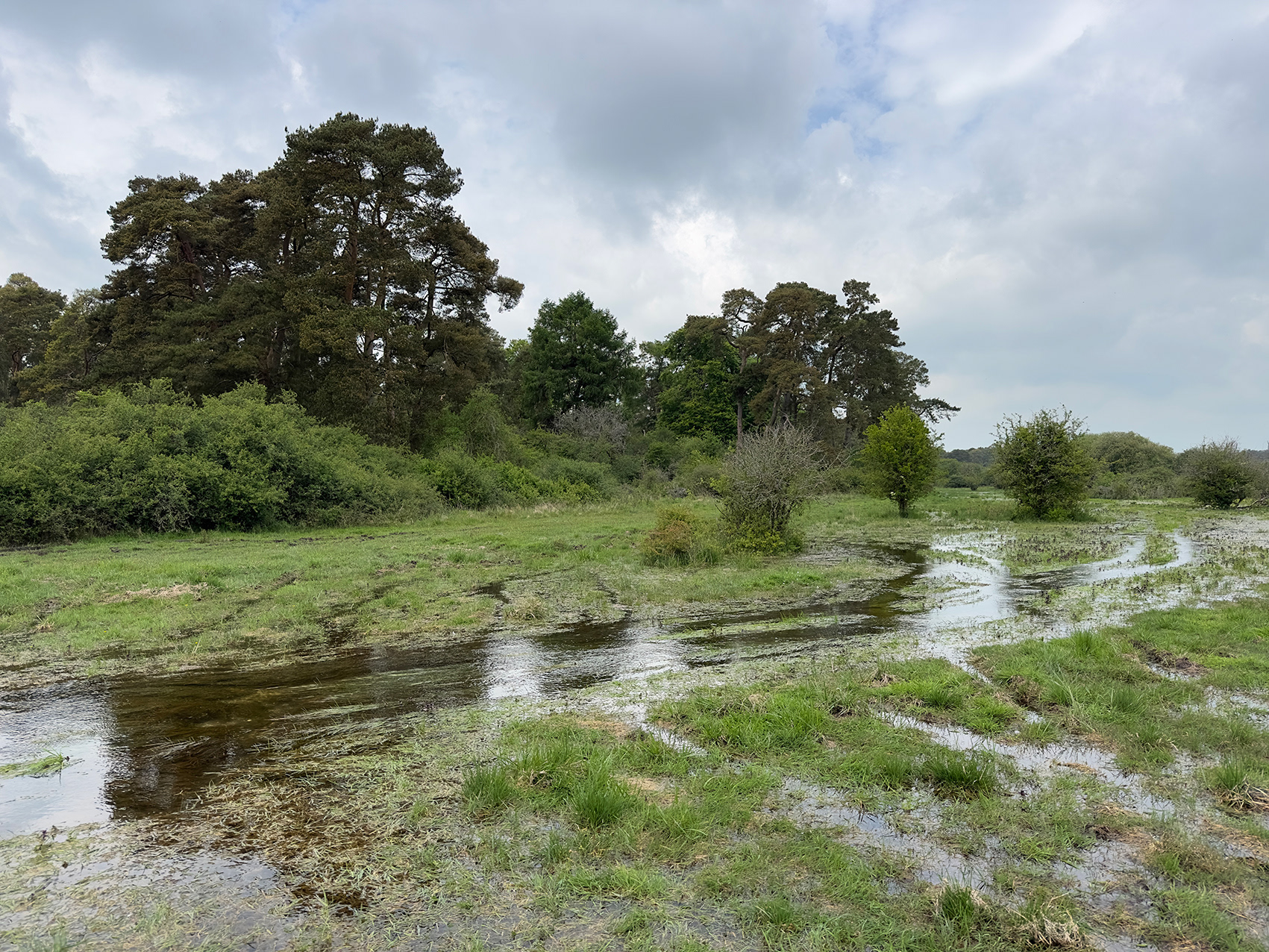
Flooded Pit, Bourne Bottom, west of the Old Marlborough Road, Bulford Ranges, Wiltshire, 2024.
Water is scarce on Salisbury Plain, with its few rivers often little more than winterbournes. This posed a concern for the War Office Salisbury Plain Committee (WOSP) as they began acquiring land in the late 19th century, with plans for training camps to operate only between May and September each year.
Writing in Salisbury Plain: Home of Britain’s Military Training, historian Henry Buckton notes that the Committee discussed the availability of clean drinking water at length. However, the Inspector General of Fortifications pointed out that soldiers on manoeuvres would almost certainly drink river water, as they would on active service. "Thirsty soldiers in the field would probably drink from any natural freshwater source available to them, so this shouldn’t pose a hindrance," he said.
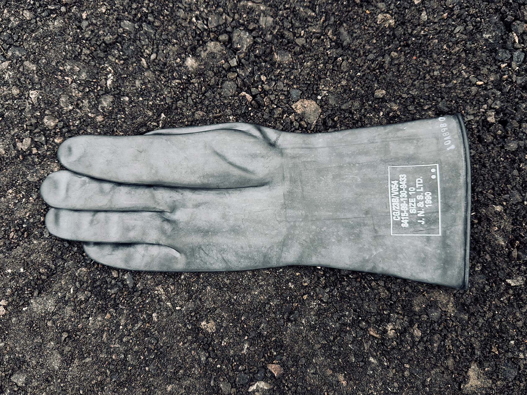
CG/23B/V054, Nuclear, Biological and Chemical (NBC) Outer Protective Glove, James North & Sons Limited, 1990, Tidworth Ranges, 2002.
Syrencot Penning, north of the Transit Road, Tidworth Ranges, Wiltshire, 2024.
Barrow Clump, east of Ablington, Tidworth Ranges, Wiltshire, 2025.
A Scheduled Ancient Monument, Barrow Clump has evidence of human activity stretching back more than 5,000 years. Originally a Neolithic settlement, it later saw the construction of a burial mound in the Early Bronze Age, which was reused as a cemetery in the Anglo-Saxon period.
In recent years, the site has been excavated twice by Operation Nightingale, a military initiative that uses archaeology to aid the recovery of service personnel injured in conflict.
During the most recent excavation, in 2018, archaeologists recorded 28 inhumation burials and five cremations, along with numerous artefacts, bringing the total number of known burials to more than 110. The cemetery is believed to contain more graves, with the total potentially reaching 150.
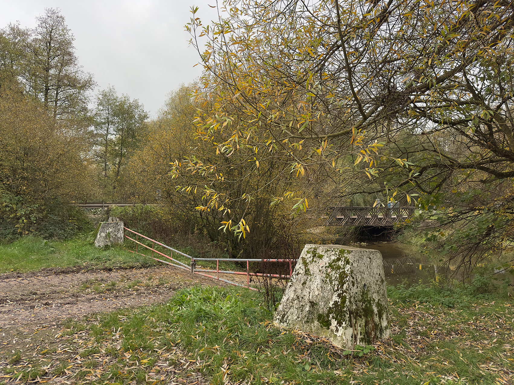
Ford (Charlie Crossing), River Avon, north of Brigmerston, Tidworth Ranges, Wiltshire, 2025.
In 1996, almost the entire length of the River Avon, from its source in Wiltshire, to Christchurch, Dorset, along with its tributaries the Wylye, Nadder, Bourne and Dockens Water, was designated as the River Avon System SSSI.
This designation means that SPTA HQ carefully controls the frequency with which military vehicles can Ford the river between Charlie and Charlie One Crossings.
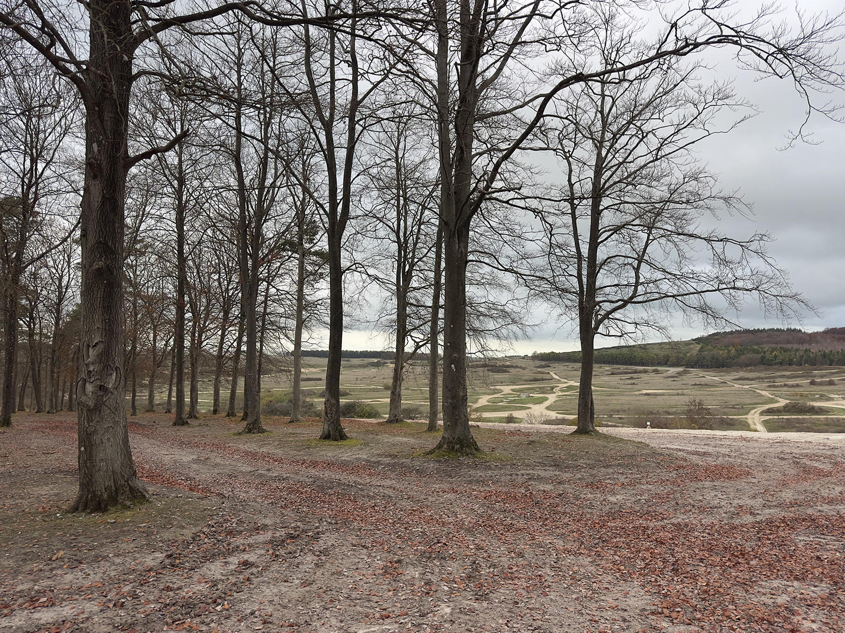
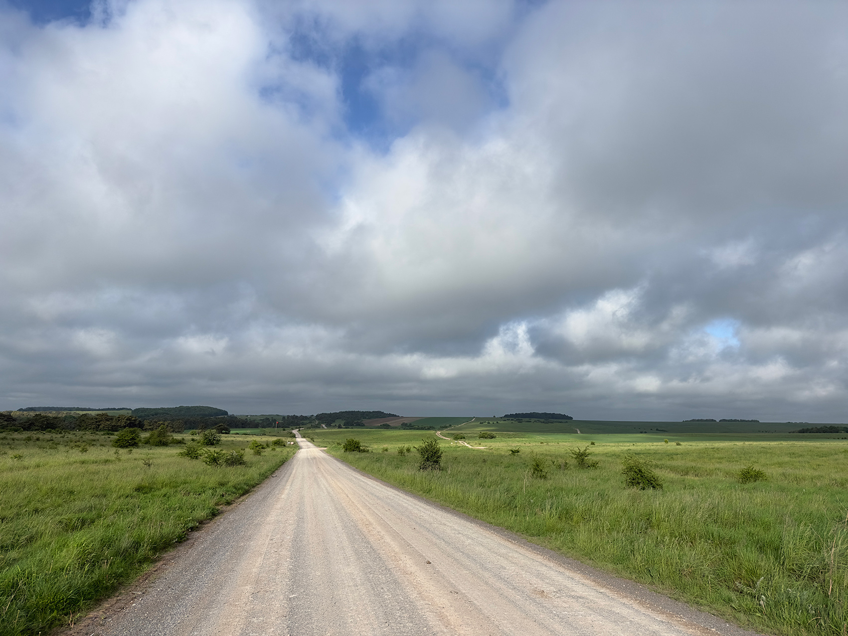
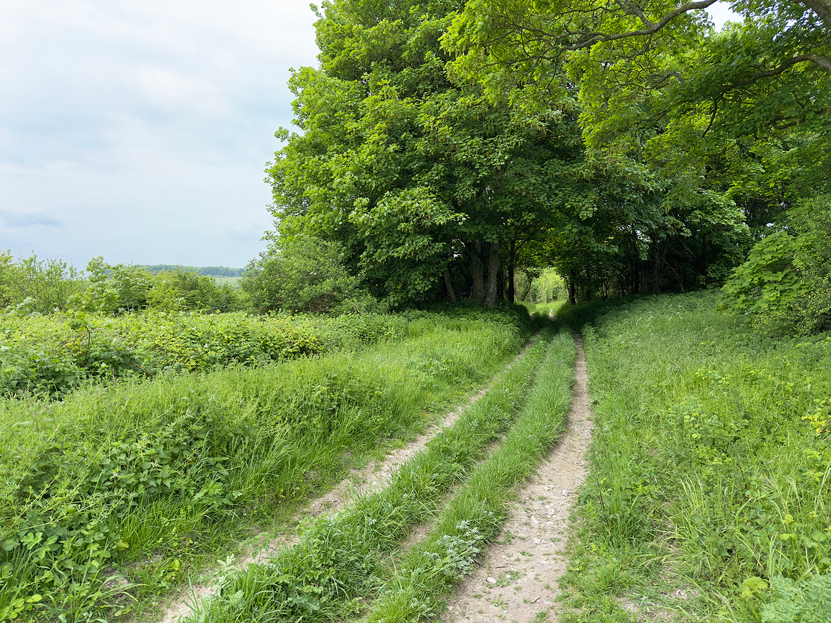
Above the Cross Country Driving Course, Clarendon Hill Plantation, Tidworth Ranges, Wiltshire, 2025.